1
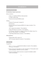
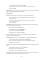
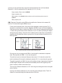
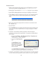
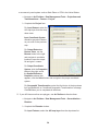
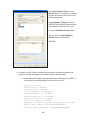
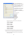
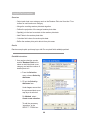
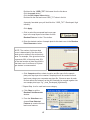
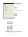
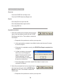
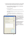
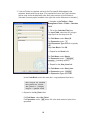
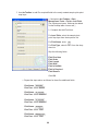
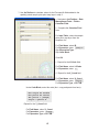
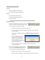
b Complete the Add Field form. [For
experienced users, fields can be added via
the ArcMap table view as well.]
For Input Table, select the spatially joined
sample plots point map layer from the
drop-down list.
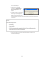
For Field Name, enter: ID
For Field Type, select LONG from the
drop-down list.
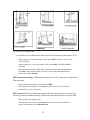
Skip the following fields:
Field Precision
Field Scale
Field Length
Field Alias
Field is Nullible
Field is Required
Field Domain
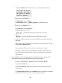
Click OK.
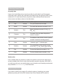
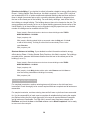
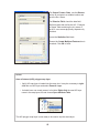
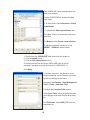
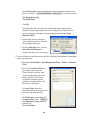
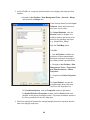
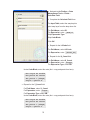
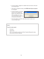
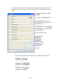
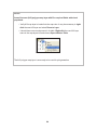
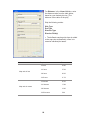
c Repeat the steps above as follows for these five additional fields:
Field Name: LCCode
Field Text: Select SHORT.
Field Name: X_Coord
Field Text: Select DOUBLE.
Field Name: Y_Coord
Field Text: Select DOUBLE.
Field Name: LCType
Field Text: Select TEXT.
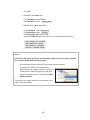
Field Name: MapUnits
Field Text: Select TEXT.
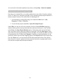
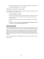
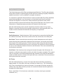
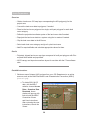
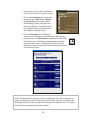
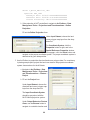
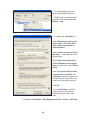
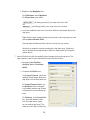
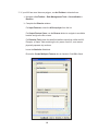
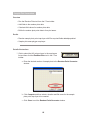
6 Use ArcToolbox to calculate values for the Eco-specific fields added to the
spatially joined sample plots point map layer in step 2:
70