1
NAVIGATION MODE
Map display
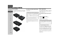
You can select whether the map is to be
displayed in 3D or 2D mode, in a split
screen with 3D or 2D display or in arrow
mode.
You can also select the map angle in 3D
mode and decide whether or not available
3D places of interest and house models
should be displayed.
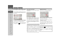
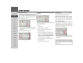
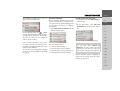
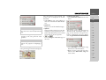
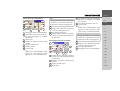
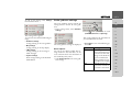
> Select Map in the map toolbox.
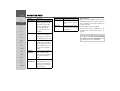
> Select the basic display using Full map,
Map with Turn-By-Turn, Split screen
or Turn-By-Turn.
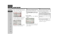
> Select the type of map display using 2D
or 3D.
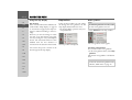
> For 3D mode, select whether or not 3D
places of interest available should be displayed (yes
or no
) with 3DLandmarks. This also switches the display of house models on/off.
> For 2D mode, select whether the map
should always be orientated to the
direction of travel ( ) or to the north
( ) with Heading up.
> Switch Autozoom on
or off
with Autozoom.
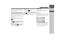
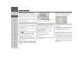
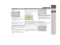
> Select Map tilt angle in 3D mode to
change the map angle.
> Choose between the map angles Higher,
Normal and Lower.
> Confirm your settings by selecting
Done.
>>>
Position display
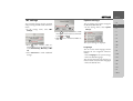
You can display your current position and
store this position. You can also display
information concerning the current GPS
reception and the current country.
>D
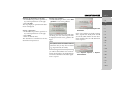
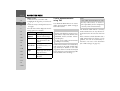
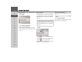
> Select Information in the map toolbox.
>I
> GB
>F
>E
>P
> NL
> DK
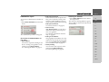
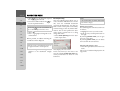
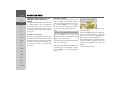
The current position is displayed. If possible, an address is displayed. If no address
is available for the current position, the
geographical coordinates are displayed.
When route guidance is active, the
destination address and possible stopovers
will also be displayed.
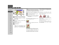
You can return to the map using Resume
guidance (with active route guidance) or
Return to map.
Push the rotary control/push button to
the right for further control options.
>S
>N
> FIN
> TR
> GR
> PL
> CZ
>H
> RUS
41