1
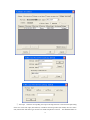
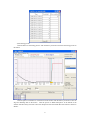
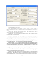
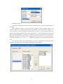
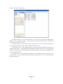
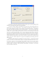
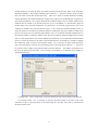
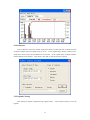
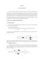
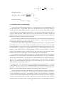
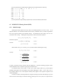
Station belongs to river type, so that its input code is XXXXXXXXYZ, of which XXXXXXXX is the code
of flood-reporting station of the forecasting section, Y is the code of the scheme, and Z is the code of the
area input series. For example, 807002003A is expressed as the input of Area A in the 3rd forecasting
scheme of the Nanning Station (80700200).
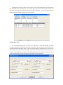
After setting all the factors of a forecasting scheme, click “OK”.
4.1.2 Circling Basin
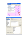
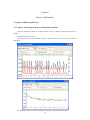
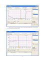
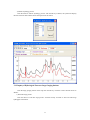
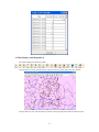
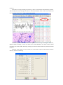
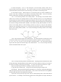
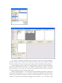
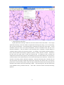
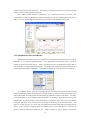
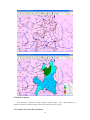
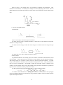
In order show the geographic range of the area input in a hydrologic model forecasting scheme and
calculate the controlling area of a rainfall station, it is necessary to define the area input boundary.
a rough boundary, which can be described in 2 ways.
This is
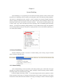
1. Manual circling
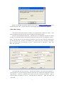
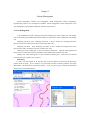
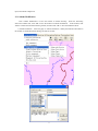
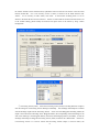
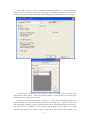
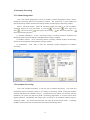
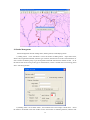
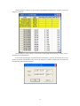
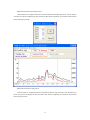
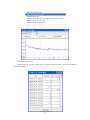
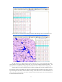
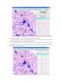
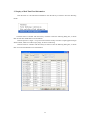
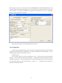
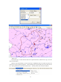
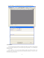
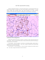
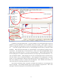
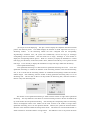
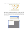
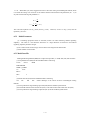
Click “manual circling”, the cursor will change into cross. And then click the point within the
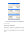
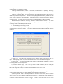
boundary. If it is necessary to end circling, double click. At that time, the system will show the window
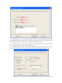
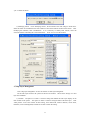
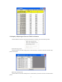
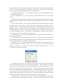
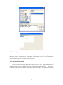
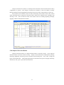
of setting area input code.
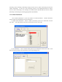
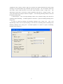
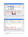
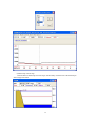
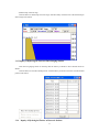
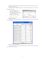
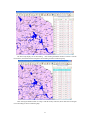
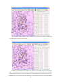
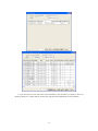
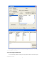
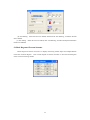
After selecting the codes of station and scheme, all the codes of area input will
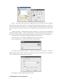
be in the window. Select one code to finish the task.
means the code has been selected.
58
If there is “*” behind the code of area input, it