1
Map size and the like
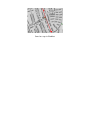
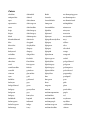
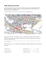
The background color can be set according to the given color set.
The size of the picture is specified by the width in pixels. Height is automatically calculated.
Clipping means that not all of the data given in the osm file will be presented. This is useful to clip incomplete data at the edges of the area in the osm file.
-bgcolor=TEXT (color for background)
-size=<integer> (in pixels for x axis, DEFAULT=1024)
-clip=<integer> (percent data to be clipped on each side, 0=no clipping, DEFAULT=0)
Advanced parameters
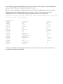
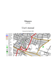
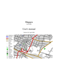
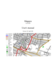
By default a legend is drawn in the upper left corner. This can be switched off.
-legend=INT (0=no legend; 1=legend; DEFAULT=1)
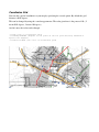
A ruler is drawn by default in the upper right corner. This can be switched off as well. Additionally a color can be specified.
-ruler=INT (0=no ruler; 1=draw ruler; DEFAULT=1)
-rulercolor=TEXT (DEFAULT=black)
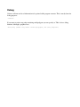
Optionally a scale value can be calculated and added to the map. Of course the color for this text can be set.
-scale (print scale)
-scalecolor=TEXT (set scale color; DEFAULT = black)