1
MAP
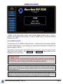
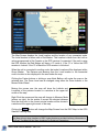
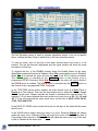
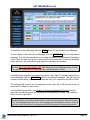
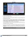
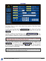
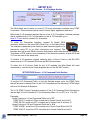
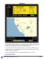
The Map Screen displays the Local location and the location of any connected node.
The Local location is shown with a Red Marker. This location is taken from the Lat/Lon
values programmed in Set Console or the GPS receiver if connected. If the unit is using
the GPS location the Red Marker will have a ‘G’ inside it. If the ‘G’ is Yellow the GPS
receiver is Locked. If the ‘G’ is Black the GPS receiver is Unlocked.
When the unit is connected to another node, that node’s location will be displayed with a
Green Marker. The Distance and Bearing from the Local location to the connected
node’s location is also displayed in the area under the map.
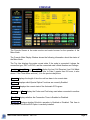
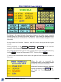
Clicking the Center buttons or clicking a map Node Balloon will center the map on the
selected item. The Zoom Level can be changed using either the Zoom buttons or the
Mouse Roller Wheel.
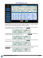
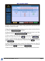
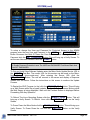
Moving the mouse over the map will show the Latitude and
Longitude of the pointers location in a window at the upper left
corner of the map.
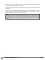
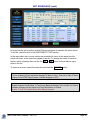
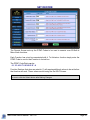
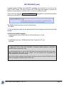
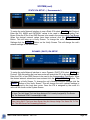
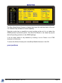
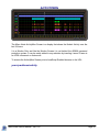
Right Click the mouse and the map will change to Measure Mode
(picture on right). As the pointer is moved the shortest distance
from the click point to the current pointer location will be shown in
a window at the upper right corner of the map.
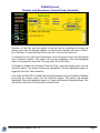
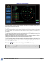
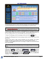
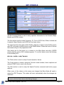
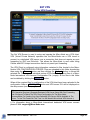
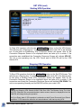
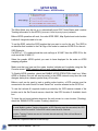
Clicking the GPS Button will change the Map Screen from the IRLP Map to the GPS
Satellite Tracking Map.
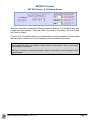
Note:
The Map will only show locations of IRLP nodes that have provided Lat/Long information to
IRLP.net. The Map Will Not Show Locations For EchoLink Connections.
Micro-Node User's Manual - Ver 1.62
Page 11