1
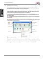
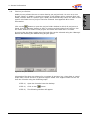
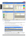
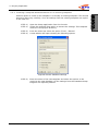
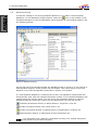
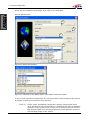
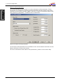
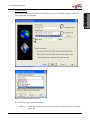
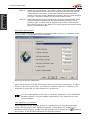
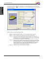
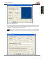
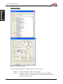
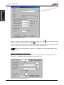
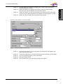
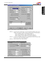
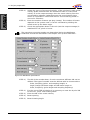
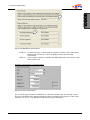
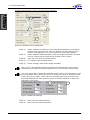
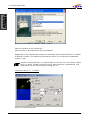
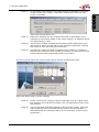
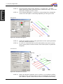
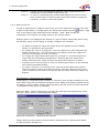
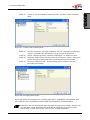
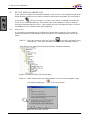
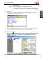
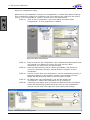
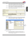
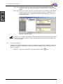
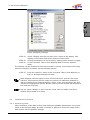
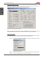
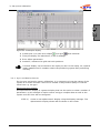
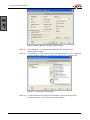
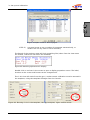
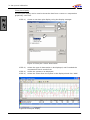
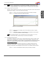
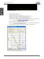
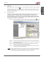
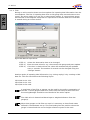
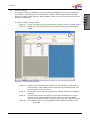
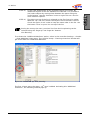
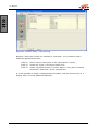
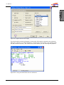
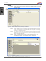
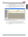
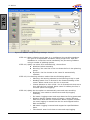
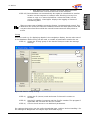
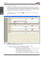
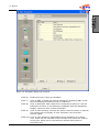
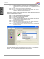
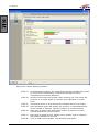
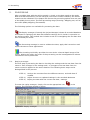
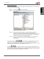
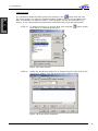
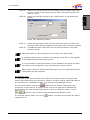
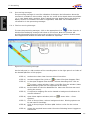
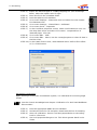
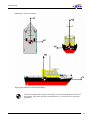
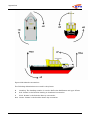
2: Project preparation
STEP 2)
Survey Unit needs to be set to the correct units used in the project.
Click on “Edit Unit” and select the required unit. All coordinates and
distances will be measured in this unit throughout the project.
STEP 3)
Add or Edit the two datum’s that will be used throughout the project.
For most surveys the first datum will be WGS84 and the second
datum will be the survey datum. All the results online will be
expressed in the survey datum
STEP 4)
The selected model will be used to calculate the CoG height on that
model. When the height of the GPS receiver is Online set as
„accurate“, the selected model is not used; the GPS height is used.
When the height is set to un-accurate, the selected model is used in
the Height Aiding driver to calculate the actual height of the CoG on
that geoid. On the selected model a correction/reduction model can
be selected to get local heights. (Appendix D). With the offset setting,
all heights can be shifted with a fixed height. The offset value will be
added to the calculated height. The selected height model will also be
used in the Height Aiding driver for the tide reduction.
QPS bv, Zeist, The Netherlands
21