1
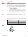
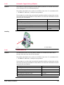
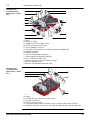
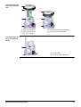
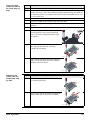
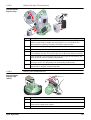
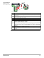
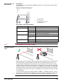
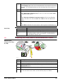
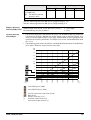
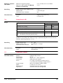
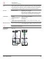
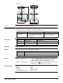
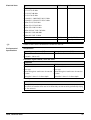
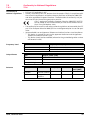
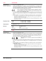
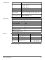
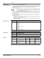
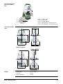
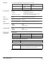
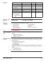
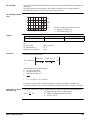
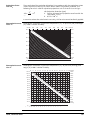
7.8 SmartStation 7.8.1 SmartStation Accuracy Measurement precision and accuracy in position and accuracy in height are dependent upon various factors including the number of satellites tracked, constellation geometry, observation time, ephemeris accuracy, ionospheric disturbance, multipath and resolved ambiguities. Figures quoted assume normal to favourable conditions. Accuracy Position accuracy: Horizontal: 5 mm + 0.5 ppm Vertical: 10 mm + 0.5 ppm When used within reference station networks the position accuracy is in accordance with the accuracy specifications provided by the reference station network. Initialisation Method: Reliability of initialisation: Time of initialisation: Range: Leica SmartCheck+ technology Better than 99.99 % Typically 8 s* Up to 50 km* * Might vary due to atmospheric conditions, signal multipath, obstructions, signal geometry and number of tracked signals. RTK Data Formats Formats for data reception: Leica proprietary GPS / Glonass and GNSS real-time data formats, CMR, CMR+, RTCM V2.1 / 2.2 / 2.3 / 3.1 / 3.2 7.8.2 SmartStation Dimensions SmartStation Dimensions With GS15 195.7 mm 499.2 mm 196 mm 226 mm 008663_001 TS16, Technical Data 111.5 mm 111.5 mm 223 mm 69