1
Aggregates Levey Sustainability Fund – MEPF 04/03
MARA-GIS, Technical Report
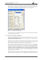
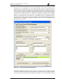
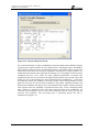
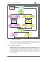
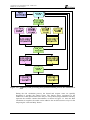
The operation of the MARA-GIS is straightforward. It guides the user through the MARA
Framework clearly and in a step-by-step manner, feeding back information that has already been
entered, verifying that data are correct and highlighting when a step in the Framework is
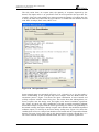
complete or incomplete. At all times, supporting information can be logged to allow the user to
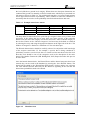
enter the source of data or the evidence that may be required to corroborate data. A number of
different data formats can be accommodated, from direct entry of values into the forms and
entry using slider bars through to loading of values from fields in tables and from CSV files.
The fuzzy logic methods developed in the earlier MARA project (to enable uncertainty within
qualitative expert judgement and quantitive process models to be combined) have been
embedded within the MARA-GIS to support an intuitive and complete representation of the
hazards and consequences within the context of a data sparse EIA and REA. The concept of
common data libraries (holding receptor’s sentisivity and exposure) included within the MARAGIS will, once widely used, actively support the principle of “collect once use many times”
ensuring all assessments use best avaiable data and can be subjected to transparent challenge.
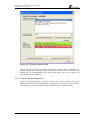
The data that is considered within the assessment are stored by MARA-GIS within a single
database. It is therefore a straightforward task for a user to enter, review and revise their hazard
and receptor data for their EIA. The results of the analysis and information relating to the scope
of the licence applications are also stored in the database. The database provides a single source
of Environmental Risk Assessment data which can be provided to regulators or stakeholders,
allowing them to review all of the data considered during the risk assessment and the decisions
made by experts in the field in order to evaluate the risk. Since the MARA-GIS allows metadata
records to be entered whenever entering data, it allows the assessor to understand the
provenance of the data that has been considered making it easier to obtain and review particular
datasets in more detail should this be required.
EX 5766
iv
R. 2.0