1
160
NCO 4.5.3-alpha03 User Guide
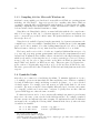
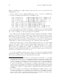
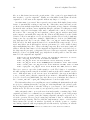
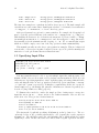
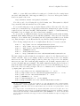
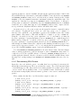
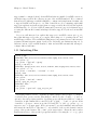
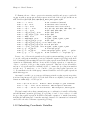
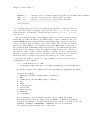
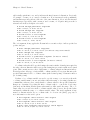
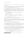
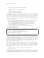
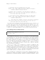
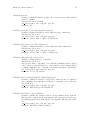
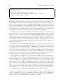
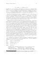
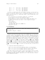
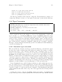
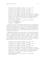
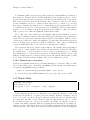
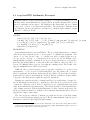
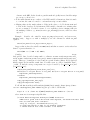
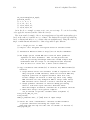
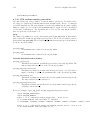
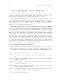
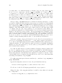
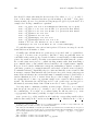
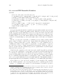
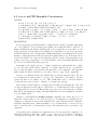
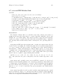
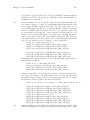
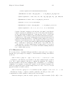
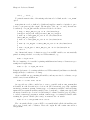
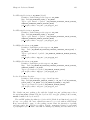
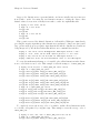
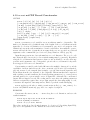
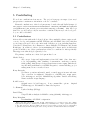
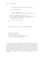
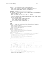
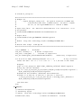
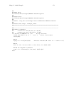
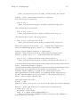
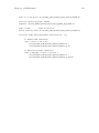
defdim("X",4);
defdim("Y",5);
// Temperature
T_in[$X,$Y]=
{100, 200, 300,
101, 202, 303,
102, 204, 306,
103, 206, 309,
400,
404,
408,
412,
500,
505,
510,
515.0 };
// Coordinate variables
x_in[$X]={0.0,1.0,2.0,3.01};
y_in[$Y]={1.0,2.0,3.0,4.0,5};
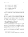
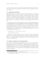
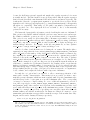
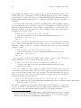
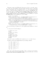
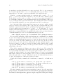
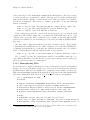
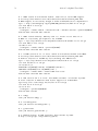
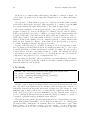
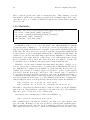
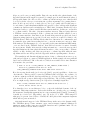
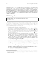
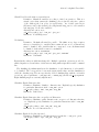
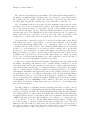
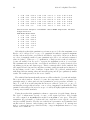
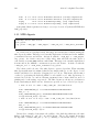
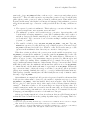
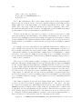
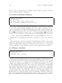
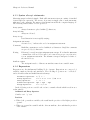
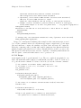
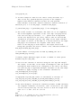
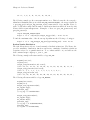
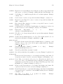
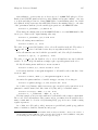
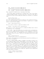
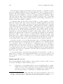
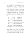
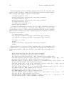
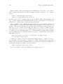
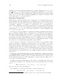
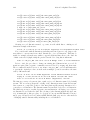
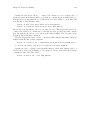
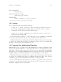
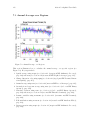
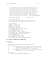
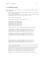
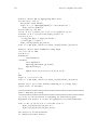
Now we interpolate with the following variables:
defdim("Xn",3);
defdim("Yn",4);
T_out[$Xn,$Yn]=0.0;
x_out[$Xn]={0.0,0.02,3.01};
y_out[$Yn]={1.1,2.0,3,4};
var_out=bilinear_interp(T_in,T_out,x_out,y_out,x_in,y_in);
print(var_out);
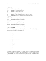
// 110, 200, 300, 400,
// 110.022, 200.04, 300.06, 400.08,
// 113.3, 206, 309, 412 ;
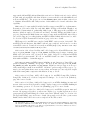
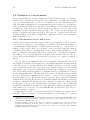
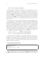
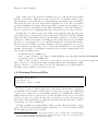
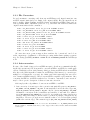
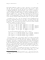
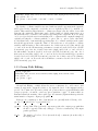
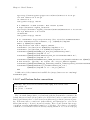
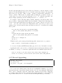
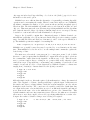
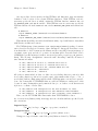
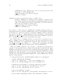
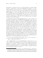
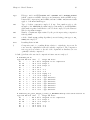
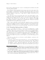
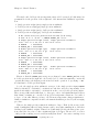
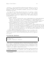
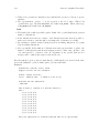
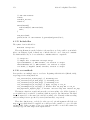
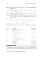
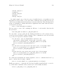
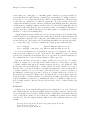
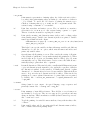
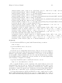
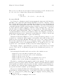
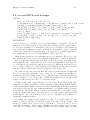
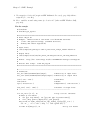
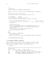
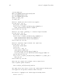
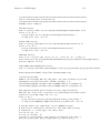
It is possible to interpolate a single point:
var_out=bilinear_interp(T_in,0.0,3.0,4.99,x_in,y_in);
print(var_out);
// 513.920594059406
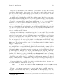
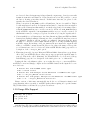
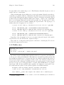
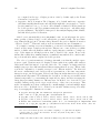
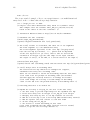
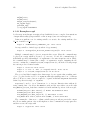
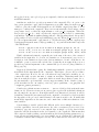
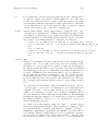
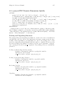
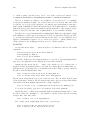
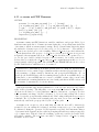
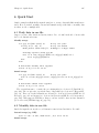
Wrapping and Extrapolation
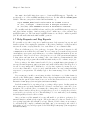
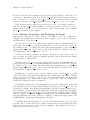
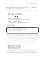
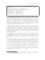
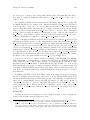
The function bilinear_interp_wrap() takes the same arguments as bilinear_interp()
but performs wrapping (Y ) and extrapolation (X) for points off the edge of the grid. If
the given range of longitude is say (25-335) and we have a point at 20 degrees, then the
endpoints of the range are used for the interpolation. This is what wrapping means. For
wrapping to occur Y must be longitude and must be in the range (0,360) or (-180,180).
There are no restrictions on the longitude (X ) values, though typically these are in the range
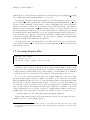
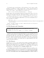
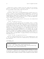
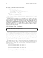
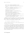
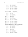
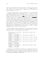
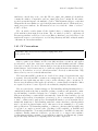
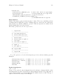
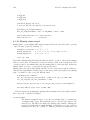
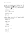
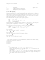
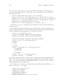
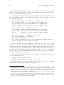
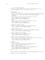
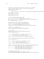
(-90,90). This ncap2 script illustrates both wrapping and extrapolation of end points:
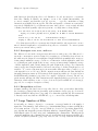
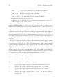
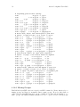
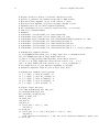
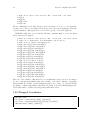
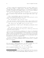
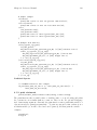
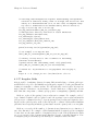
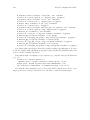
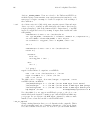
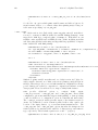
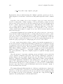
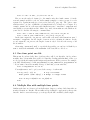
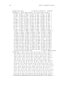
defdim("lat_in",6);
defdim("lon_in",5);
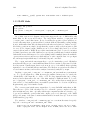
// Coordinate input vars
lat_in[$lat_in]={-80,-40,0,30,60.0,85.0};
lon_in[$lon_in]={30, 110, 190, 270, 350.0};