1
Level 1
Level 2
EIS
Flight
Instruments
Appendix
Level 3
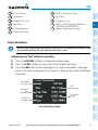
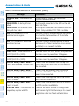
Description
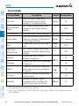
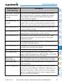
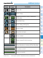
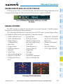
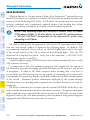
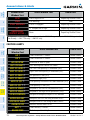
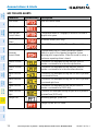
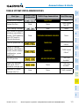
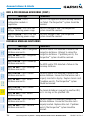
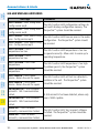
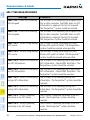
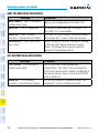
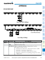
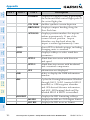
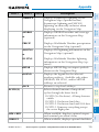
PATHWAY
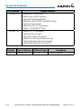
Displays rectangular boxes representing
the horizontal and vertical flight path of
the active flight plan
Enables synthetic terrain depiction
GPS Nav
AFCS
Nav/Com/
XPDR/Audio
SYN TERR
Flight
Planning
DFLTS
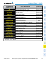
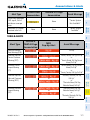
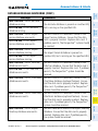
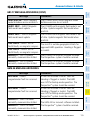
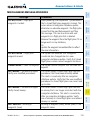
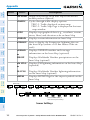
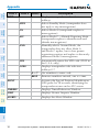
DME
Select to display the DME information
window
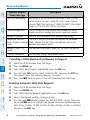
BRG
Cycles the Bearing Information Window
through NAV1, NAV2 (omitted if BRG2
installed) or GPS/waypoint identifier
and GPS-derived distance information,
and ADF. All Bearing labels will be
Annun/
Alerts
Abnormal
Operation
Additional
Features
Hazard
Avoidance
Procedures
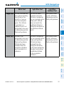
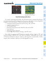
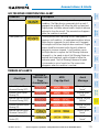
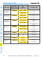
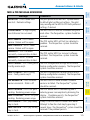
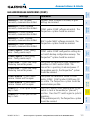
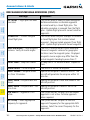
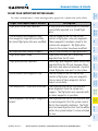
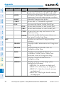
WIND
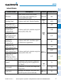
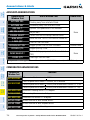
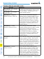
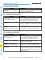
HRZN HDG Displays compass heading along the
Zero-Pitch line
APTSIGNS Displays position markers for airports
within approximately 15 nm of the
current aircraft position. Airport
identifiers are displayed when the
airport is within approximately 9 nm.
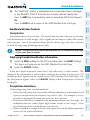
Resets PFD to default settings, including
changing units to standard
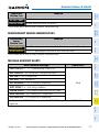
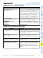
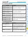
Displays softkeys to select wind data
parameters
Wind direction arrow with direction
OPTN 1
and speed
Wind direction arrows with headwind
OPTN 2
and crosswind components
Information not displayed
OFF
labeled BRG1 if BRG2 is installed.
Appendix
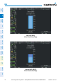
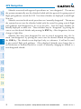
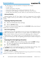
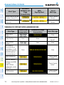
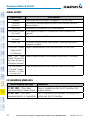
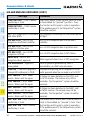
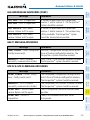
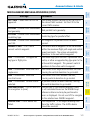
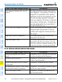
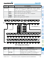
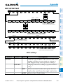
HSI FRMT
Index
360 HSI
ARC HSI
Displays the HSI formatting softkeys
Displays the HSI in a 360 degree format
Displays the HSI in an arc format
150
Cirrus Perspective™ by Garmin – Cockpit Reference Guide for the SR20/SR22/SR22T
190-00821-08 Rev. A