1
SECTION 8 – FLIGHT PLANNING
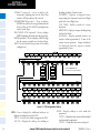
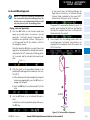
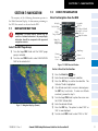
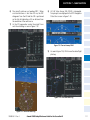
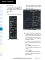
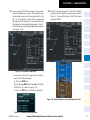
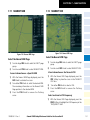
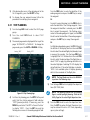
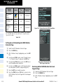
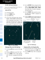
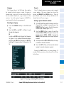
6) Turn the small FMS Knob to select RAD/DIS (radial/
distance).
c) Turn the large FMS Knob to select the desired
waypoint.
7) Press the ENT Key.
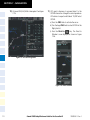
d)Press the ENT Key.
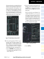
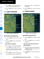
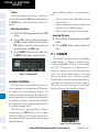
8) The cursor moves to the ‘REFERENCE WAYPOINTS’
field. With the first waypoint name highlighted, use
the FMS Knobs to enter the desired waypoint name.
Waypoints may also be selected as follows:
a)When a flight plan is active, turning the small
FMS Knob to the left will display a list of the
flight plan waypoints.
b)Turn the large FMS Knob to select the desired
waypoint.
c) Press the ENT Key.
Or:
a)Turn the small FMS Knob to the left. Initially, a
flight plan waypoint list is displayed.
b)Turn the small FMS Knob to the right to display the ‘NRST’ airports to the aircraft’s current
position.
c) Turn the large FMS Knob to select the desired
waypoint.
d)Press the ENT Key.
Or:
a)Turn the small FMS Knob to the left. Initially, a
flight plan waypoint list is displayed.
b)Turn the small FMS Knob to the right to display the ‘RECENT’ waypoints.
c) Turn the large FMS Knob to select the desired
waypoint.
d)Press the ENT Key.
Or:
a)Turn the small FMS Knob to the left. Initially, a
flight plan waypoint list is displayed.
b)Turn the small FMS Knob to the right to display the ‘USER’ waypoints.
190-00384-12 Rev. A
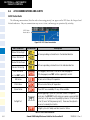
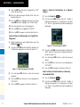
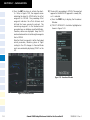
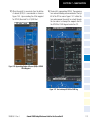
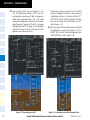
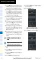
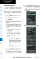
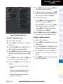
9) Press the ENT Key. The cursor is displayed in the
‘RAD’ (radial) field. Enter the desired radial from
the reference waypoint.
10) Press the ENT Key.
11) The cursor is now displayed in the ‘DIS’ (distance)
field. Enter the desired distance from the reference
waypoint.
12) Press the ENT Key.
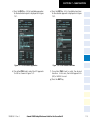
13)Press the FMS Knob to remove the flashing
cursor.
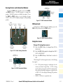
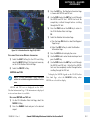
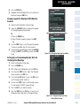
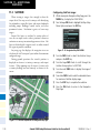
Create a User Waypoint using the Map
Pointer
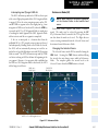
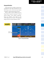
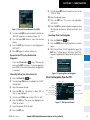
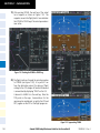
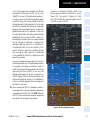
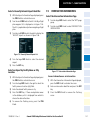
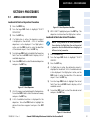
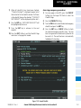
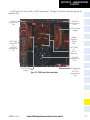
1) Press the Joystick to activate the panning function
and pan to the map location of the desired user
waypoint.
2) Press the ENT Key. The User Waypoint Information
Page is displayed with the captured position.
NOTE: If the pointer has highlighted a map database feature, one of three things happens upon
pressing the ENT Key: 1) information about the
selected feature is displayed instead of initiating
a new waypoint, 2) a menu pops up allowing a
choice between ‘Review Airspaces’ or ‘Create
User Waypoint’, or 3) a new waypoint is initiated
with the default name being the selected map
item.
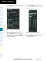
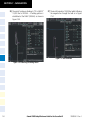
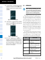
3) Enter a user waypoint name (up to six characters).
4) Press the ENT Key to accept the selected name.
5) If desired, define the type and location (i.e., LAT/
LON, RAD/RAD or RAD/DIS) of the waypoint.
6) Press the ENT Key to accept the new waypoint.
Garmin G1000 Cockpit Reference Guide for the Cessna Nav III
8-3