1
5
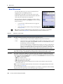
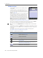
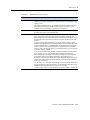
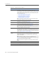
Map Section
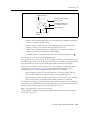
•
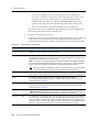
the selected point feature
•
the start, middle, end, or selected vertex of the selected line feature
•
the start/end, centroid, or selected vertex of the selected area feature
•
a position that you specify as an offset from the start position
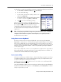
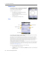
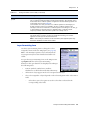
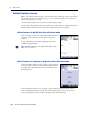
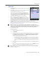
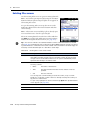
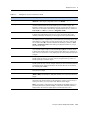
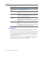
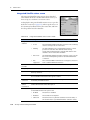
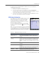
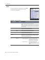
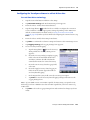
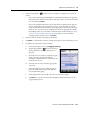
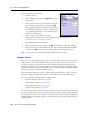
To set the navigation target in the Map section:
1.
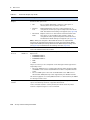
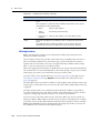
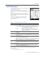
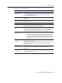
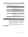
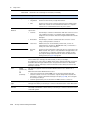
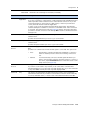
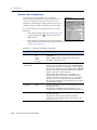
To navigate to a point on the map, a waypoint, or to a feature, select the map
point, waypoint, or feature.
2.
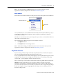
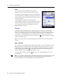
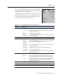
Tap Options and then select Set Nav Target.
3.
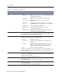
Select the target option required. Do one of the following:
–
To set the target to the selected map point, select Map Point.
–
To set the target to the selected waypoint, select the waypoint. The
waypoint is identified by the waypoint number ( for example, 18
Waypoint).
–
To set the target to a location on the selected feature, select one of the
feature options. The feature options are identified by the feature number
and feature type ( for example, 3 Park - Centroid is the feature option for
the center of the Park feature that has ID number 3).
–
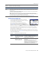
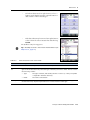
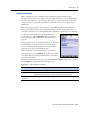
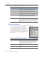
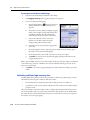
To enter a target position manually, select Construct. The Construct Target
Offset form appears (see page 138). Enter the bearing and distance from the
start to the target and then tap OK.
Note – The Construct option is only available if you have set the navigation start.
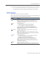
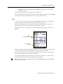
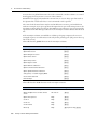
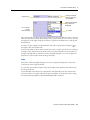
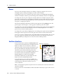
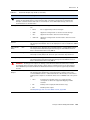
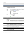
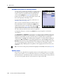
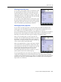
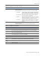
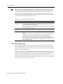
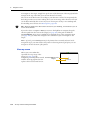
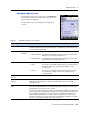
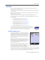
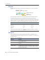
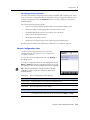
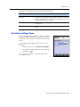
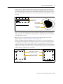
The target icon appears over the selected map point, waypoint, feature, or position.
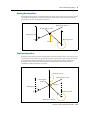
If a navigation start is also defined, the start and target are joined by a line that shows
the most direct navigation path.
B
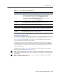
Tip – A target icon also appears beside the selected feature in the the Update Features
screen (see page 129).
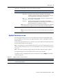
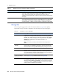
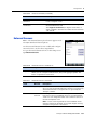
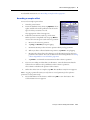
Clearing the navigation start and target
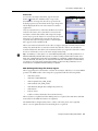
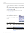
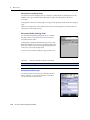
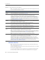
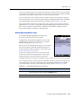
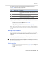
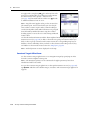
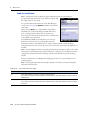
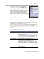
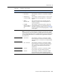
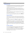
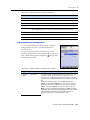
To clear the navigation start and target, tap Options and select Clear Nav Targets. The
start and target icons disappear from the Map section and from the Update Features
screen in the Data section. In the Navigation section, the lightbar is grayed out and the
message Set your nav target in the Map or Data section appears. You cannot navigate
until you have set a new target.
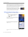
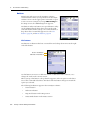
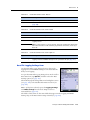
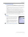
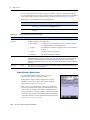
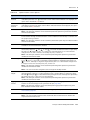
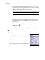
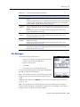
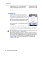
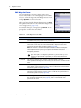
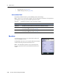
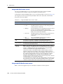
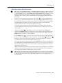
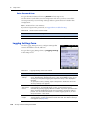
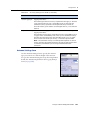
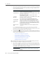
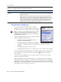
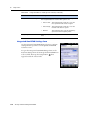
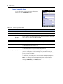
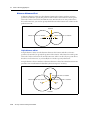
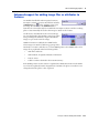
Controlling logging from the Map section
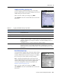
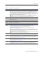
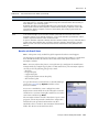
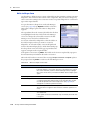
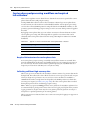
In Log Now or Log Later data collection modes, when the attribute entry form for a
and Pause button
feature is open in the Data section, you can use the Log button
in the Map section to start, pause, or resume logging, just as you would tap Log,
Pause, or Resume in the Data section.
1 00
TerraSync Software Getting Started Guide