1
Mobile Mapping – IP-S2 HD Compact+ / IP-S2 HD
IP-S2 HD Compact+ / IP-S2 HD – Mobile Mapping
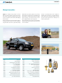
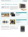
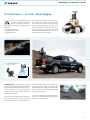
Topcon’s IP-S2 Mobile Mapping System
These technologies work together to sustain a highly accu-
overcomes the challenges of mapping 3D
rate 3D position for the vehicle. IP-S2 Compact+ includes
features at a high level of accuracy and
up to five LiDAR scanners oriented to cover the road-side
speed. Accurate vehicle positions are obtained using three
objects and adjacent buildings up to 65m away. IP-S2 HD
technologies:
includes a scanner with 64 individual lasers, resulting in a
– dual frequency GNSS receiver
very dense point cloud and a range of 100m. Both systems
– inertial Measurement Unit (IMU)
bring a high resolution digital camera provides 360° spheri-
– external wheel encoders
cal images at fixed distance or time intervals.
GIS / MAPPING
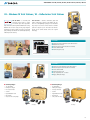
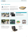
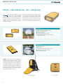
VELODYNE LASER SCANNER HDL-64E
scans both sides of featuresHDL-64E
64
LASERS
120 m
26,8“
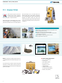
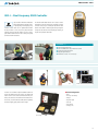
Data post processing – Tracking both GPS and GLONASS
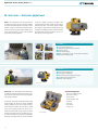
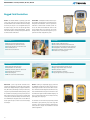
software functionality and allows users, or teams of users,
signals, the inertial measurement unit (IMU) and wheel sen-
to create GIS data sets and deliver asset inventories with
sors allow to accurately determine the location of the scan
unparalleled ease of use and efficiency. Orbit software loads
data and images collected... even if the data was collected
both the IP-S2 point cloud and images and allows flexible
while driving near obstructions or through tunnels where
and efficient inventory creation.
satellite signals can be blocked.
The Client-Server architecture allows team working within a
Orbit Asset Inventory management allows integration of
single data set. A separate publishing server allows sharing
IP-S2 data with other sources like aerial imagery, maps,
of data with end-users over the web.
drawing or other data layers. The software offers full GIS
22