1
Global Mapper User's Manual
Scripting Language Reference
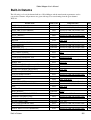
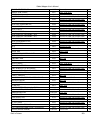
Contents
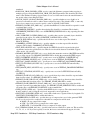
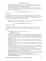
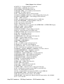
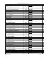
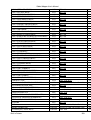
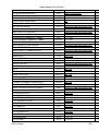
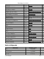
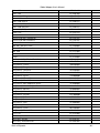
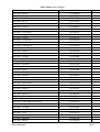
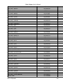
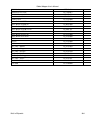
• General Overview
• Batch Mode Operation
• Comments
• Commands
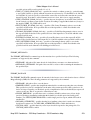
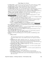
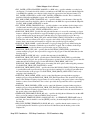
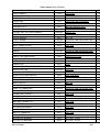
♦ ADD_MEASURE_ATTRS - Adds/Updates Measure Attributes to Features in a Layer
♦ ASSIGN_TYPE - Deprecated, Use EDIT_VECTOR Instead
♦ COMBINE_LINES - Combines Connected Line Features Into New Lines or Areas Based on
Attribute Values
♦ COMBINE_TERRAIN - Combines Two Loaded Terrain Layers to Generate a New Terrain
Layer
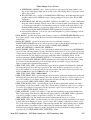
♦ DEFINE_PROJ - Define a Projection for Later Use
♦ DEFINE_SHAPE - Define a Shape (i.e. Polygon) for Later Use
♦ DEFINE_VAR - Define a Variable for Later Use
♦ DIR_LOOP_END - Ends a Loop of Commands Over Files in a Directory
♦ DIR_LOOP_START - Start a Loop of Commands Over Files in a Directory
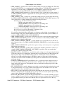
♦ EDIT_VECTOR - Edit Loaded Vector Features that Match a Type/Name/Attribute Query
♦ EMBED_SCRIPT - Runs Another Script File Within This Script
♦ EXPORT_ELEVATION - Export Elevation Data to a File
♦ EXPORT_METADATA - Export Metadata for a Layer to a File
♦ EXPORT_PACKAGE - Export Data to a Global Mapper Package File
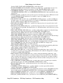
♦ EXPORT_PDF - Export Data to a PDF File
♦ EXPORT_RASTER - Export Raster and Elevation Data to a File
♦ EXPORT_VECTOR - Export Vector Data to a File
♦ FORCE_EXIT - Forces Global Mapper to Immediately Exit with a Return Code
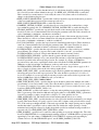
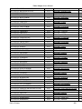
♦ GENERATE_CONTOURS - Generate Contours from Elevation Data
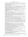
♦ GENERATE_ELEV_GRID - Generates an Elevation Grid from Loaded 3D Vector Data
♦ GENERATE_EQUAL_VAL_AREAS - Generates Area Features from Equal Values in
Elevation/Terrain Layers
♦ GENERATE_LAYER_BOUNDS - Generates a Layer with Bounding Area Features for each
Loaded Layer
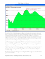
♦ GENERATE_PATH_PROFILE - Generate a 3D Path Profile and Save it to a XYZ File
♦ GENERATE_REPORT - Generates a Report on the Loaded Vector Features
♦ GENERATE_WATERSHED - Generate Watershed from Elevation Data
♦ GLOBAL_MAPPER_SCRIPT - Script Header Line
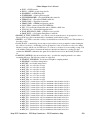
♦ IMPORT - Import Data From a File
♦ IMPORT_ARCHIVE - Import Data From an Archive File (.zip, .tar.gz, etc.)
♦ IMPORT_ASCII - Import Generic ASCII Data from a File
♦ IMPORT_DIR_TREE - Import All Data Files in a Directory Tree
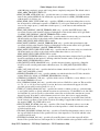
♦ IMPORT_TERRASERVER - Deprecated, Terraserver-USA/MSRMAPS.COM Servers
Down as of May 1, 2012
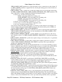
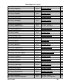
♦ IMPORT_WMS - Import WMS Layer
♦ JOIN_TABLE - Joins Attributes from a File to a loaded Vector Layer
♦ LOAD_PROJECTION - Loads a New Global Projection From a PRJ File
♦ LOAD_STYLE_FILE - Loads a Style/Type File (.gm_style)
♦ LOAD_TYPE_FILTER - Loads a Type Filter from a GMF (Global Mapper Filter) File
♦ PLAY_SOUND - Plays a Beep or a Specified Sound File
♦ RESTORE_LAST_SAVED_VIEW - Restores Last Saved View
Map GPS Coordinates - GPS Map Coordinates - GPSCoordinates Map
214