1
15. Working with Shapefiles
15.1. Introduction
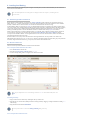
ESRI Shapefiles are one of the recognised Feature Collection file formats in GPlates. Loading a feature collection from a Shapefile
follows the same procedure as any other feature data file - see the Loading and Saving chapter.
15.2. Shapefile attributes
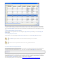
Shapefile attributes can contain meta-data associated with the geospatial data. This data could specify, for example, the feature’s
reconstruction plateID, or the times of appearance and disappearance of the feature. GPlates allows you to specify which shapefile
attribute field names will be associated with GPlates feature properties, such as the reconstruction plateID. GPlates records this
information on disk so that in subsequent GPlates sessions the last used association will be loaded by default. You can change this
association at any time during a GPlates session.
15.2.1. Mapping shapefile attributes
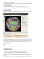
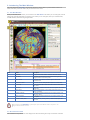
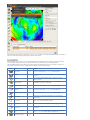
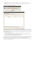
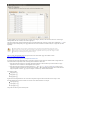
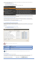
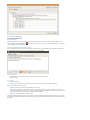
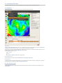
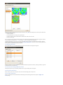
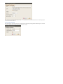
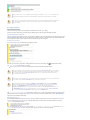
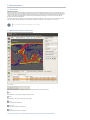
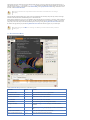
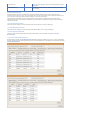
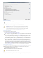
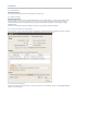
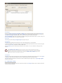
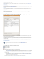
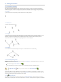
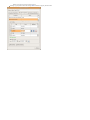
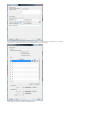
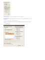
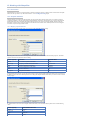
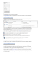
The first time a shapefile has been loaded, you will see the Map Shapefile Attributes dialog.
This dialog allows the user to select which shapefile attribute fields will be associated with GPlates feature properties. The feature
properties are listed on the left-hand side of the dialog.
Feature property
Explanation
Expected values
PlateID
The reconstrution plateID for the feature
Integer
Feature type
The type (e.g. Coastline, COB) of the feature
Two letter code
Begin
The time of appearance of the feature
Numerical
End
The time of disappearance of the feature
Numerical
Name
The name of the feature
Text
Description
A description of the feature
Text
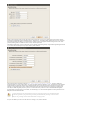
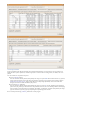
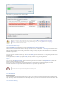
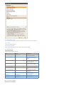
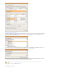
Alongside each feature property is a drop-down box showing the name of the shapefile attribute field which will be associated with
the feature property. You can use the drop-down boxes to change the shapefile attribute fields which you want to associate with each
feature property.
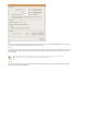
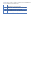
By default GPlates will look for certain shapefile attribute field names, and will initialise the drop-down boxes with the following
values:
Feature property
Default attribute field name
PlateID
PLATEID
Feature type
TYPE
Begin
FROMAGE
End
TOAGE