1
Raw Data
File Format
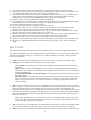
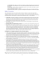
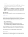
Carlson GIS-CE RW5 Format
This document outlines the Carlson GIS-CE RW5 format in detail.
The format is a comma separated ASCII file containing record types, headers, recorded data and
comments.
The format is based on the RW5 raw data specification with the exception of angle sets. Angle sets are
recorded as BD, BR, FD and FR records to allow reduction of all possible data that can be recorded by
Carlson GIS-CE using the “Set Collection” routine. Essentially, these records are identical to a sideshot
record.
With the exception of the aforementioned angle set records, if the RW5 specification is modified to provide
enhanced functionality, the added or modified data will reside in comment records to avoid incompatibility
with existing software.
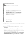
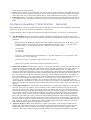
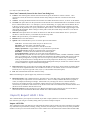
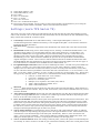
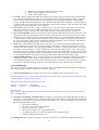
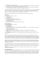
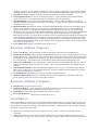
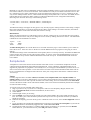
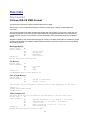
Backsight Record
Record type:
Field headers:
BK
OP
BP
BS
BC
Occupy Point
Back Point
Backsight
Back Circle
Sample(s):
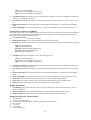
BK,OP1,BP2,BS315.0000,BC0.0044
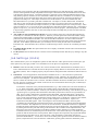
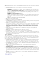
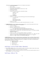
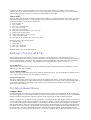
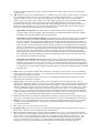
Job Record
Record type:
Field headers:
JB
NM
DT
TM
Job Name
Date
Time
Sample(s):
JB,NMSAMPLE,DT06-27-2003,TM14:21:53
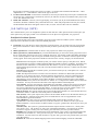
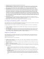
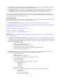
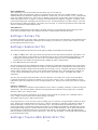
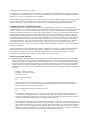
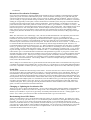
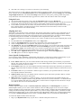
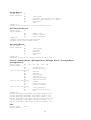
Line of Sight Record
Record type:
Field headers:
LS
HI
HR
Height of Instrument
Height of Rod*
*GPS heights may be recorded to phase center or ARP depending on GPS make.
Sample(s):
LS,HI5.000000,HR6.000000
LS,HR4.000000
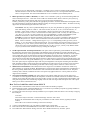
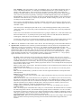
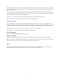
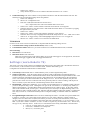
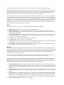
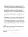
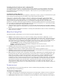
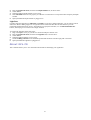
Mode Setup Record
The mode setup will be recorded at the beginning of the raw data file.
Record type:
MO
Field headers:
AD
Azimuth direction ( 0 for North, 1 for South)
UN
Distance unit (0 for feet, 1 for meter)
SF
Scale factor
EC
Earth Curvature (0 for off, 1 for on)
EO
EDM offset(inch)
Sample(s):
MO,AD0,UN0,SF1.00000000,EC1,EO0.0,AU0
62