1
English
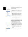
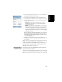
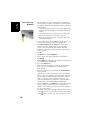
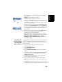
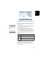
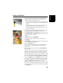
• Select the name of the background map from the list.
• Tap on the Modify button.
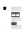
• Find the point on the image for which coordinates are
known. Adjust the zoom setting and drag the stylus on the
image if necessary.
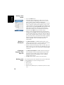
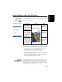
• Tap on the point location and then enter its ID and
coordinates. If you are currently standing at that location
and the receiver delivers a valid GPS position, you don’t
need to enter any coordinates. The receiver will do that for
you.
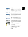
• Tap Add to enter and complete the definition of this point.
• Resume the previous three steps until all the reference
points have been defined. Each point on the map is
represented by a red circle. If this happens, you can
always delete a bad point by double-tapping on it and then
tapping on the Delete button.
• Tap OK to complete the georeferencing process. This takes
you back to the screen showing the list of background
maps.
More about
Background Maps
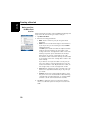
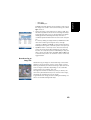
• The background map will be displayed only when it is
geographically close to the computed GPS position and
the zoom is set properly.
• For large background maps, you may have to zoom in
several times before the map screen can start viewing
details of the background map.
• If a background map is not properly georeferenced, the
background map will never appear on the map screen, and
the reference points you incorrectly created on the
background map will all be deleted. Try again, this time
with correct point location and coordinates.
• It is highly recommended to place the original image file
used to create the background map in the same folder as
the job file using it. Observing this rule will simplify the
download procedure.
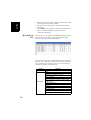
• When georeferencing an image, the original image file is
unchanged and three new files are created:
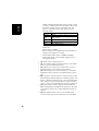
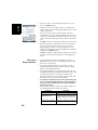
Created files
<image filename>.prj
<image filename>.xxw
<image filename>.<image file
extension>.ref.txt
50
Designation
Coordinate system used
Auxiliary data. “xx” in the extension stands
for the first two letters in the extension of
the original image file (e.g. “JP” for a jpg
file)
Coordinates of reference points and coordinate system used.