1
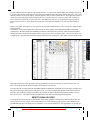
focus up and to the left simultaneously. You can also use CENTER THE CHART ON A WAYPOINT to pan the map
to show or find a particular waypoint. This is very handy if you are zoomed way in and get lost.
Zooming in or out by factors of 2 or 5 can be done with the ZOOM command or by using the hot keys F3 to F6. See the
CHART OPERATIONS>ZOOM sub section for more details.
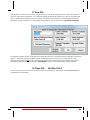
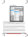
Coastlines are contained in files on the hard disk. To show a coastline on the chart, select COASTLINE from the
CHART OPERATIONS menu and select one of the choices presented. Picking a higher resolution than needed will
slow down plotting, so as the program zooms out, it will pick lower resolution coastlines as appropriate. Selecting
COASTLINE>REMOVE will remove the coastline.
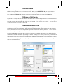
To control how the chart is displayed see CHARTING OPTIONS in the CHART OPERATIONS menu. This allows
you to select or deselect layers of the chart.
3.7 Display on NOAA Chart
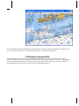
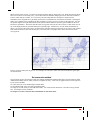
The types of charts that may be displayed with this selection are the BSB/KAP or NOS/GEO formats from the National
Ocean Service. These may be obtained from the Andren Software Co. or from the free NOAA site:
http://www.nauticalcharts.noaa.gov/mcd/Raster/index.htm and a selection is normally shipped on the distribution media.
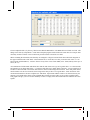
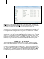
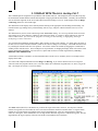
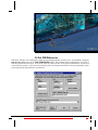
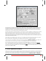
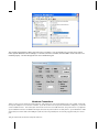
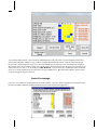
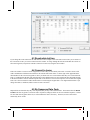
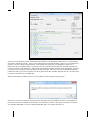
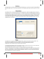
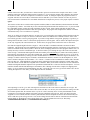
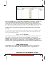
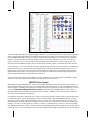
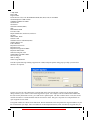
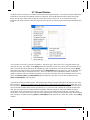
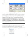
The first window is for chart selection assuming you have some charts to display. If you know that you have added
charts and they do not show, then push the Rebuild Catalog button.