1
INTREPID User Manual
Library | Help | Top
Including datasets in a map composition (T45b)
6
| Back |
Use of legends to distribute attribute values
You can specify how INTREPID should distribute the attribute values over the range
of values using a legend.
A legend is a set of specifications linking a set of data with a set of attribute values
and governing the assignment of the attribute values to value ranges in the data.
INTREPID stores legends in text files with the extension .leg.
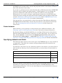
INTREPID has a Legend Editor for creating and editing legends. Using the Legend
Editor you can
•
Load, save and create new legends
•
Specify the number of levels to which INTREPID will assign data (i.e., number of
colours, shades, sizes or shapes).
•
Specify the method of assigning the values to the colours etc.
You can also directly edit legend files using a text editor.
See Map legend files (R23) for details about legend files and Map Legend Editor
(T45f) for interactive legend editing instructions.
Specifying legends for grid datasets and vector dataset fields
When you choose an item from the Geographic menu to include a dataset, or edit the
properties of a dataset already present in a data box, INTREPID displays the
corresponding dialog box. You can use this dialog box to specify legend files for the
datasets or dataset fields.
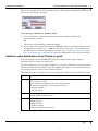
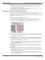
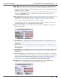
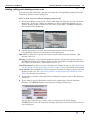
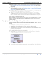
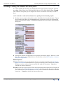
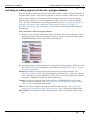
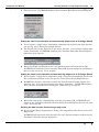
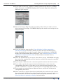
Here is an example of one of these dialog boxes. The Legend command button and
text box are for specifying a legend file.
>> To specify a legend file
1
Type the filename and full path of the legend file in the corresponding text box.
OR
Choose the corresponding Legend command button.
2
Library | Help | Top
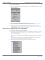
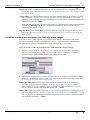
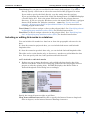
If you choose the button INTREPID displays the Legend Editor Window. See Map
Legend Editor (T45f) for interactive legend editing instructions.
© 2012 Intrepid Geophysics
| Back |