1
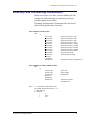
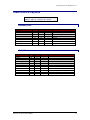
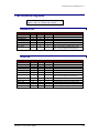
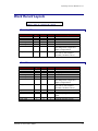
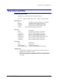
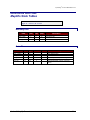
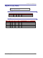
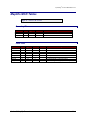
Dynamap/Census Boundaries 4.x About Census Boundary Files Census Boundaries are a set of boundary and inventory files representing seven different levels of Census geography: State, County, Tract, Block Group, Block, Place, and MCD. The data included in these files was extracted from Census TIGER 2000 data. Latitude/Longitude Data DIME files are unsigned and have 6 implied decimal places. Northern latitudes are positive (0° to 90°), southern latitudes are negative (0° to -90°). West longitudes (including most of the USA) are negative (0° to -180°). Projection This product is delivered in Geographic projection. Section 1: Introduction 4