1
1.0 INTRODUCTION
In the year 2000, commercial vehicles in Maryland were involved in 7506
crashes, causing 3,458 injuries and 72 deaths. According to the U.S.
Department of Transportation, in 1998 and 1999, 10 percent of fatal crashes
involved a large truck. In Maryland, the figure was around fifteen percent. These
figures motivated the design of a spatially referenced data system for commercial
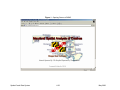
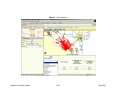
vehicle crashes known as the Maryland Spatial Analysis of Crashes (MSAC).
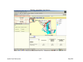
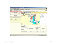
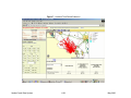
The MSAC project involves the design of a prototype of a geographic information
system (GIS) for the State of Maryland that has the capability of providing online
crash information and statistical information for commercial vehicle crashes. The
system is capable of displaying crash data such as specific geographic locations,
period and time of crash, crash severity including the number of fatalities,
contributing factors, and the cost per crash, just to name a few.
The MSAC design may achieve measurable improvements for commercial motor
carrier enforcement personnel. Crash data will significantly aid the Maryland
State Police (MSP) and Maryland Transportation Authority Police (MdTAP) in
their efforts to efficiently and effectively deploy resources and the State Highway
Administration (SHA) to manage highway development and repair.
The MSAC project responds to the Federal Motor Carrier Safety Administration’s
(FMCSA) goal to reduce the number of deaths and injuries in truck and bus
crashes. Specifically, the proposal addresses FMCSA's objective to design
Spatial Crash Data System
1
May 2003