1
Addendum User Manual Version 12
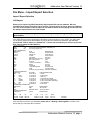
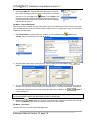
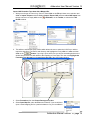
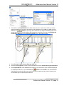
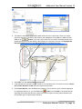
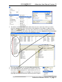
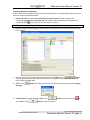
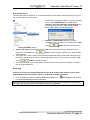
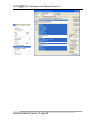
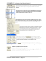
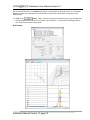
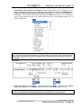
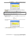
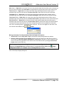
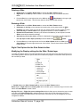
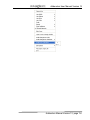
Align Left Option – Right click on the Formation Top (Long Name) layer at the depth of the directional
survey to change to activate the pop out menu seen above and select Align Left to change the display
position of that Formation Name to the left.
Align Right Option – Right click on the Formation Top (Long Name) layer at the depth of the
directional survey to change to activate the pop out menu seen above and select Align Right to change
the display position of that Formation Name to the right.
Centre Option – Right click on the Formation Top (Long Name) layer at the depth of the directional
survey to change to activate the pop out menu seen above and select Centre to change the display
position of that Formation Name to the centre.
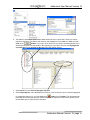
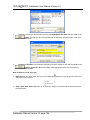
Align Left (All) Option – Right click on the Formation Top (Long Name) layer to activate the pop out
menu seen above and select Align Left (All) to change the display positions of all the surveys on the
layer to the left.
Align Right (All) Option – Right click on the Formation Top (Long Name) layer to activate the pop out
menu seen above and select Align Right (All) to change the display positions of all the Formation
Names on the layer to the right.
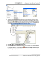
Centre (All) Option – Right click on the Formation Top (Long Name) layer to activate the pop out
menu seen above and select Centre (All) to change the display positions of all the Formation Name on
the layer to the centre.
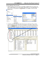
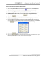
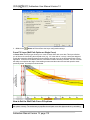
Moving the Formation Name Text Independently without the Right Click Options
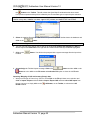
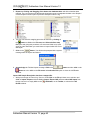
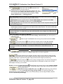
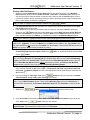
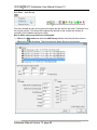
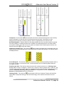
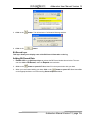
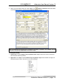
1. Double Click on the Formation Top (Long Name) track / layer to activate the Well Formation data
entry window.
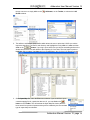
2. Hold the CTRL key down on your keypad and then move the mouse to the Formation text data you
want to move and then click and drag the information to a new spot on the layer. If done correctly
you will see a box outline move with the mouse and the text will be redrawn when you let go of the
mouse button and then the CTRL key
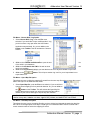
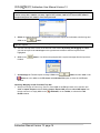
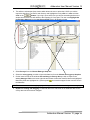
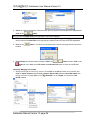
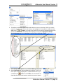
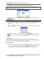
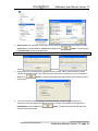
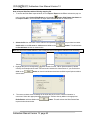
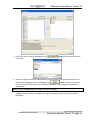
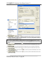
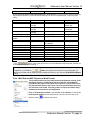
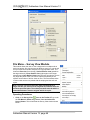
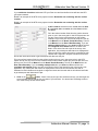
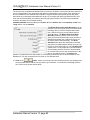
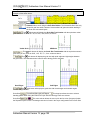
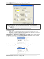
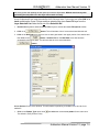
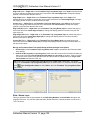
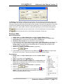
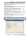
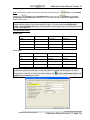
Note: Every type of layer in Power*Log / Core & Curve has a Data Type classification. The default
settings for the Formation Top (Long Name) Data layer are shown below. To access this window, click
on the
Layer Configuration button on the Toolbar, when the Formation Top (Long Name) Data
layer is active.
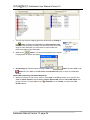
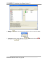
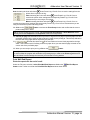
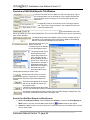
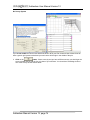
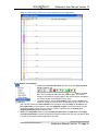
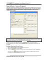
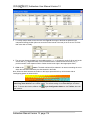
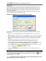
Slide / Rotate Layer
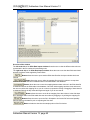
This layer provides a visual representation of the Drill String Rotation and Orientation throughout the
progress of the well. You can also Import the Slide / Rotate data from a slide sheet when it is saved in a
*.csv File format.
Addendum Manual Version 12, page 120