1
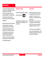
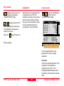
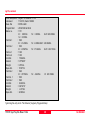
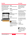
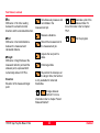
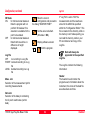
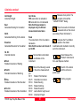
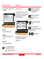
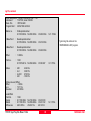
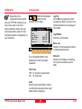
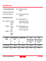
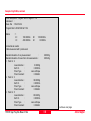
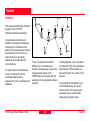
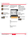
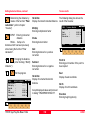
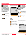
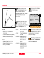
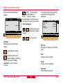
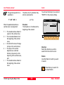
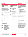
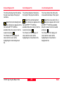
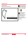
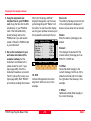
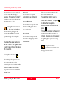
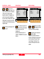
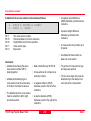
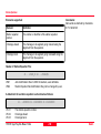
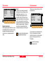
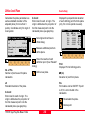
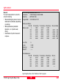
Continues with display "Point
Coords".
TPS1100 - Appl. Prog. Ref. Manual 2.2.0en
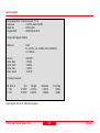
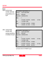
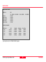
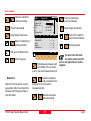
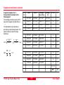
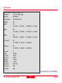
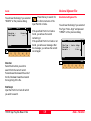
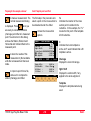
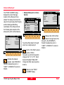
Road+\ Point Coords
Station
:
0.000 m
Refl.Ht. :
1.500 m
East
:
331.000 m
Northing :
335.500 m
Elevation :
31.000 m
STAKE
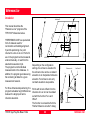
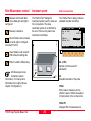
Road+\ Station & Offset
Station
:
0.000 m
Element
:
POB
H Offset :
0.000 m
V Offset :
0.000 m
CONT
QUIT
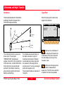
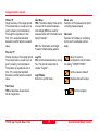
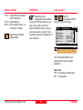
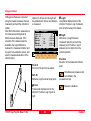
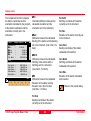
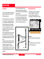
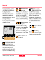
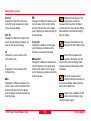
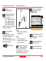
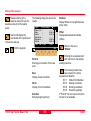
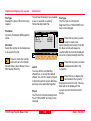
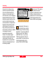
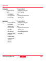
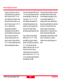
The stakeout program will
start with the polar stakeout
method being used. (See
STAKEOUT)
Record the staked out point, or
"CONT" in STAKEOUT to return to
ROAD+.
223
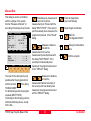
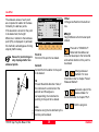
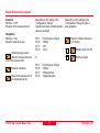
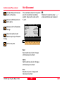
XSEC
<-ST ST->
<--S S-->
MC
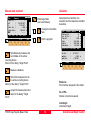
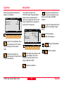
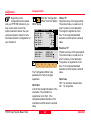
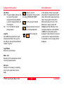
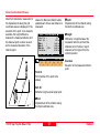
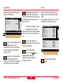
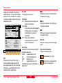
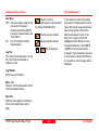
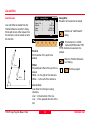
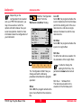
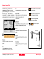
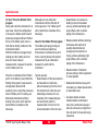
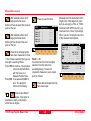
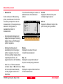
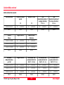
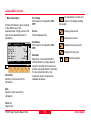
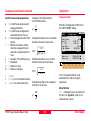
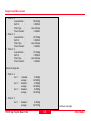
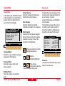
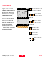
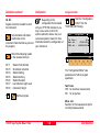
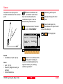
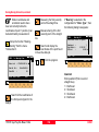
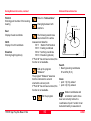
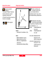
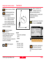
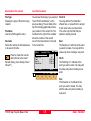
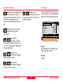
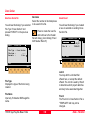
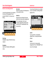
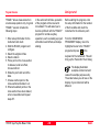
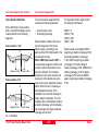
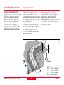
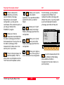
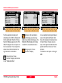
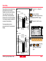
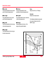
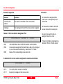
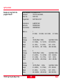
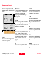
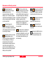
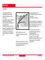
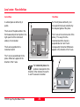
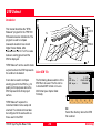
Set the "∆CL
Offset" value. This
value is the distance from centerline
of the point you want to stake.
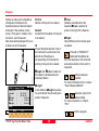
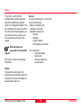
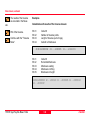
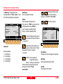
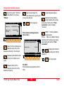
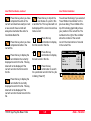
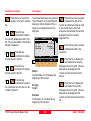
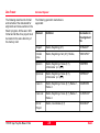
Move the cursor to "Template" and
pick the cross section template to
use, then set the "Stake Offs." (stake
offset value). If the point is left of the
centerline, enter the offset value as a
negative value.
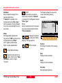
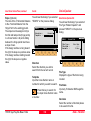
or
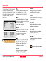
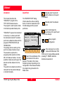
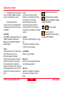
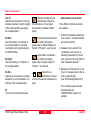
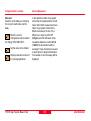
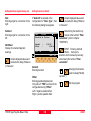
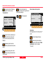
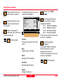
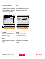
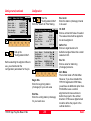
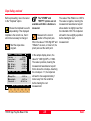
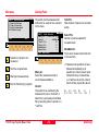
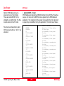
Select new chainage
Stakeout the point
MC
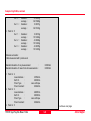
Set offset value ..., continued
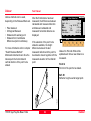
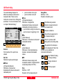
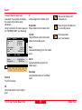
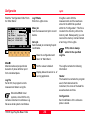
STA?
QUIT
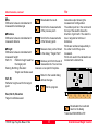
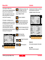
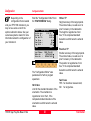
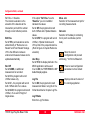
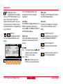
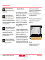
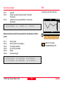
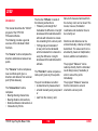
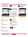
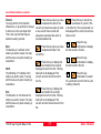
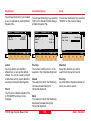
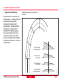
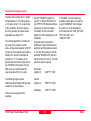
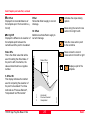
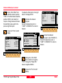
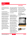
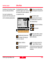
Select a new station
(chainage) (you also
may enter a station (chainage).
or
Select the point to stake out
and the offset.
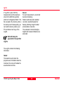
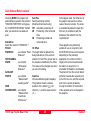
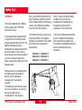
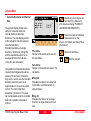
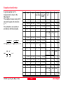
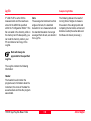
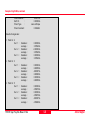
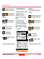
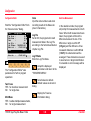
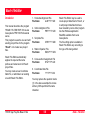
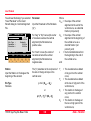
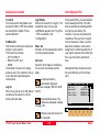
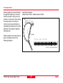
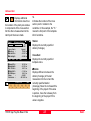
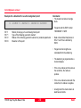
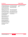
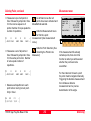
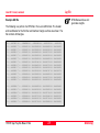
Repeat the procedure outlined in
sections "Set offset value and select
point to stakeout" through "Select
new chainage". Continue in this
manner until all points have been
staked.
Road+