1
Horse Pasture
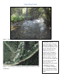
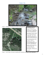
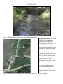
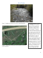
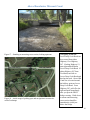
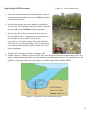
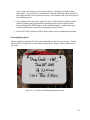
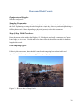
Figure 9 - Standing at measuring cross-section, looking downstream
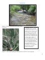
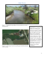
Figure 10 - Aerial image of parking spot and navigation to stream site;
credit Googlemaps
Navigating to the site: Heading
east on Highway 12, the Horse
Pasture site is located between
mile marker 12 and 13 about a
mile below the official Forest
Service boundary. Watch for
wooden fence and take the pull-off
on the right to park in front of the
gate (note: slow down as soon as
you approach fence as it is easy to
pass this pull-off). Jump over
fence and follow navigate to a
poorly worn trail that heads to the
left side of the paddock. Follow
trail to the left-hand side of fence
and down to stream site. You will
see field instruments just in front
of fence. Measuring cross-section
bank pins are located just above
fence, which is accessed most
easily by wading under fence.
10