1
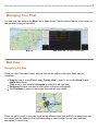
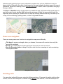
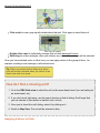
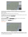
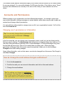
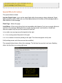
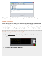
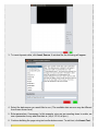
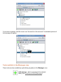
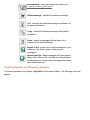
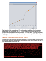
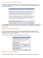
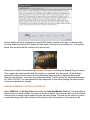
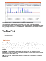
Selected units (including those you've selected in another view, such as CMS Units view) are shown in blue. Otherwise, the color of each asset on the map indicates its status: green for normal operations, yellow for a warning or if an override message is in effect, red for a problem, and gray if the sign is blank. The Map and Satellite buttons toggle between a traditional map, with features like roads drawn in and color coded, and a satellite view that provides an image of what the area actually looks like. Especially when zooming in, Satellite view can help by showing features that may not show up on a map, such as buildings, parking areas, or other recognizable terrain. Map Satellite Power user navigation There are some poweruser functions to navigate the map more efficiently: Ctrldrag for a green rectangle; when you release, the screen will zoom to show only the area in the rectangle. Scroll your mouse wheel or touch pad (if you have one) to zoom in and out. Use the Recenter button to bring all of your units into view, zooming out and recentering the map as needed. Navigation buttons, at right Selecting units You can select units with the map, using the following actions. (If you want to select units by other criteria, such as their description, consider using CMS Unit view instead, or use the techniques in