1
Chapter 4—ArcWorld 1:3M country statistical attribute layers
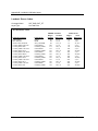
Labor Force Characteristics
Cartographic attributes
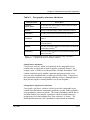
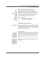
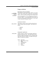
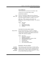
LAND_OCEAN
Flag used to identify continents, islands, and ocean areas.
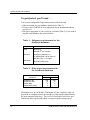
The codes are as follows:
Codes
Definitions
1 = Continent
2 = Offshore island
3 = Ocean
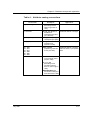
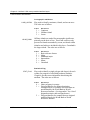
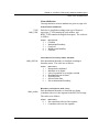
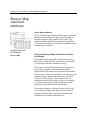
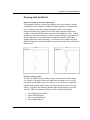
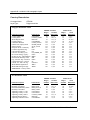
ISLND_RANK
Offshore islands are ranked for cartographic significance,
primarily on the basis of size. These rank codes are only
present for islands surrounded by ocean; no islands within
inland water bodies are included in this layer. Greenland is
the largest island. The codes are as follows:
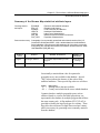
Codes
1
2
3
4
5
9
=
=
=
=
=
=
Definitions
Basic reference feature
Major
Additional major
Intermediate
Minor
Unranked
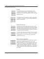
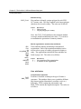
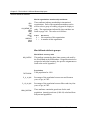
Statistical flag
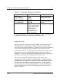
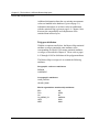
STAT_FLAG
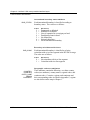
Flag used to identify a single polygon (the largest) for each
country for purposes of calculating summary statistics.
Chapter 6 provides more information about using this
attribute. The codes are as follows:
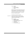
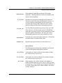
Codes
Definitions
0 = Other polygons in country.
1 = Polygon identifier for disputed territories,
reassigned areas, or countries for which data are
not tabulated by the World Bank or World
Resources Institute. (See Appendix C for a list of
disputed territories and reassigned areas.)
2 = Polygon identifier for countries that are assigned
statistical data by the World Bank or World
Resources Institute.
4-78
ArcWorld User's Guide and Data Reference