1
Chapter 4—ArcWorld 1:3M country statistical attribute layers
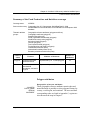
Education and Literacy
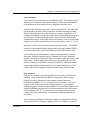
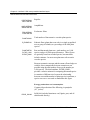
Line attributes
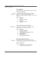
Thorough definitions of these attributes are given on page 4-50.
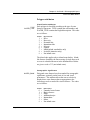
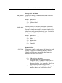
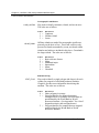
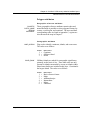
Classification attributes
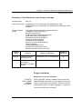
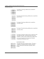
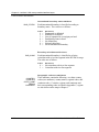
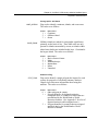
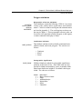
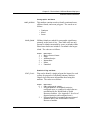
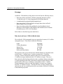
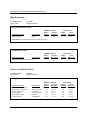
TYPE
BND_TYPE
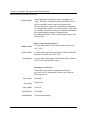
Each line is classified according to the type of feature it
represents. TYPE contains the code number, and
BND_TYPE contains the English description. The codes are
as follows:
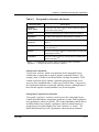
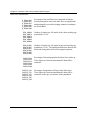
Codes
1
2
3
4
9
=
=
=
=
=
Equivalents
Coastline
International boundary
Coral reef
World region boundary
Grid line
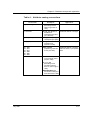
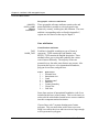
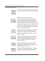
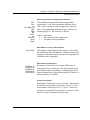
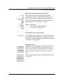
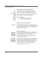
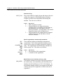
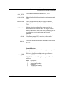
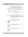
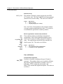
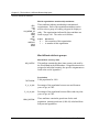
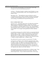
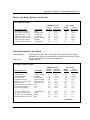
International boundary status attribute
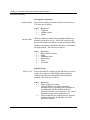
BND_STATUS
Each international boundary is classified according to
boundary status. The codes are as follows:
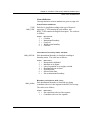
Codes
1
2
3
4
5
6
9
=
=
=
=
=
=
=
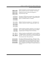
Definitions
Demarcated or delimited
Indefinite or in dispute
Line of separation or sovereignty on land
Demilitarized zone in Israel
No defined line
Selected claim lines
Not an international boundary
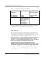
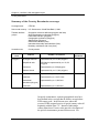
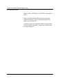
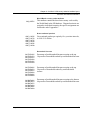
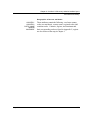
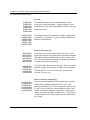
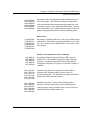
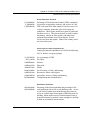
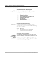
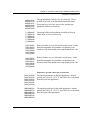
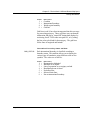
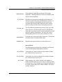
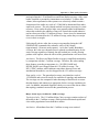
Boundary coincidence with rivers
BND_COINC
Each international boundary is classified as to being
coincident with a river line segment in the RIV3M coverage.
The codes are as follows:
Codes
Definitions
0 = Not coincident with river line segment
1 = Coincident with river line segment
4-58
ArcWorld User's Guide and Data Reference