1
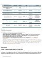
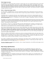
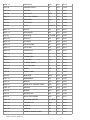
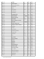
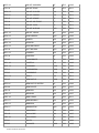
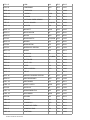
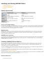
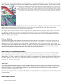
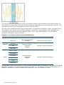
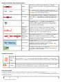
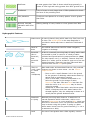
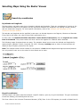
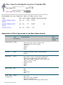
Urban area, City
Trig Stations
TRIG
Trig. Station
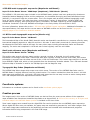
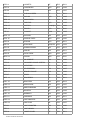
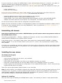
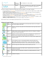
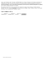
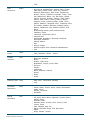
Valleys &
Depressions
VALY
Crater
Depression, Basin , Donga
Gorge, Ravine, Canyon, Glen, Chasm
Valley, Dale, Dell, Vale
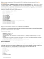
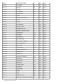
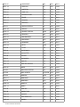
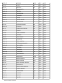
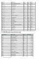
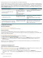
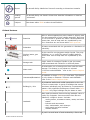
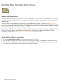
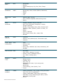
Water Bodies
WATB
Intermittent lake
Lagoon
Lake, Tarn, Loch, Lough
Reservoir, Pondage, Pond, Artificial Lake
Swamp, Marsh, Morass, Saltmarsh, Wetland
Waterhole, Lagoon, Hole, Pool, Billabong, Oxbow,
Washpool
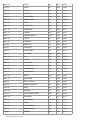
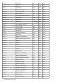
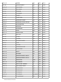
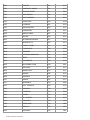
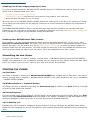
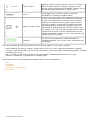
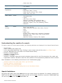
Water
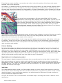
Courses
WATC
Bend, Loop, Meander
Canal, Waterway, Aqueduct, Bore drain, Channel
Drain
Glacier
Reach, Arm
Stream, Brook, Watercourse, Anabranch, Backwash,
Backwater, Run, Creek, River, Gully, Rivulet, Beck,
Backwater, Burn
Waterfall, Cascade, Cataract, Falls, Rapids
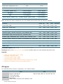
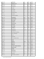
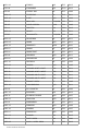
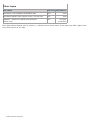
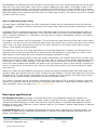
Understanding the results of a search
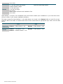
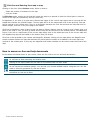
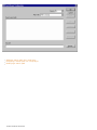
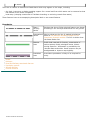
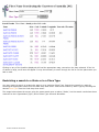
To make it easier to find the desired locality, the following attributes are displayed in the Search Results frame:
the full name
a two- or three-letter State Code
a four-letter abbreviated Place Type. Clicking on each 4-letter code will link to the list of Place Types
Use your Backspace key to go back to the Search Results frame;
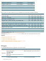
latitude, in decimal degrees
longitude, in decimal degrees
postcode, if available
elevation, if available. Note that currently elevation values exist for only 500 mountains, hills, peaks, and
trigonometric stations. Elevations values for other localities will be progressively added into future revisions.
More information on the following can be found in the Troubleshooting page:
multiple results for the same place name, type and state
alternate names or missing names
place names in the wrong location
results have been cleared after going back to the Place Name Search.
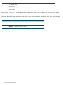
Search limitations
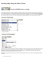
Only place and locality names that start with the given search letters are displayed. For example, searching for
‘BART’ will find Bart Creek and Barton's Gully, but will not find Hobart. Similarly, a search on ‘KOSCIUSKO’ may
not return any results, but ’MOUNT KOSCIUSKO’ will.
NATMAP RASTER 2003 USER GUIDE