1
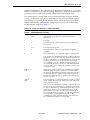
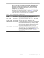
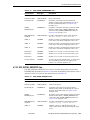
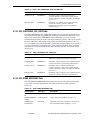
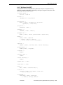
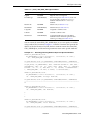
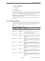
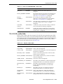
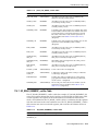
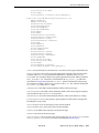
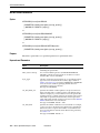
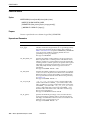
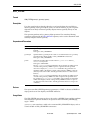
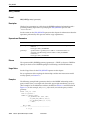
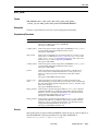
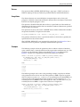
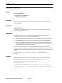
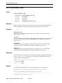
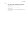
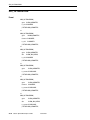
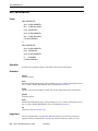
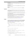
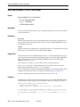
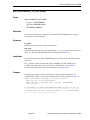
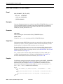
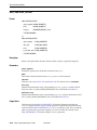
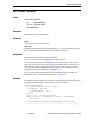
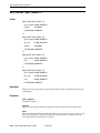
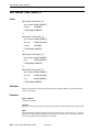
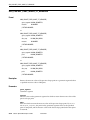
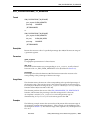
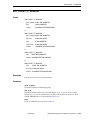
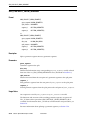
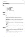
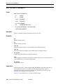
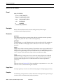
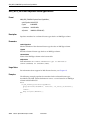
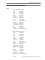
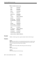
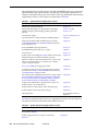
SDO_TIN_PKG.INIT
■
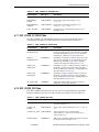
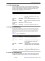
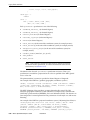
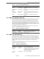
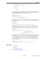
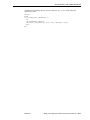
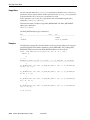
work_tablespace=x, where x is the name of the tablespace in which to create
temporary tables during the partitioning operations.
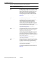
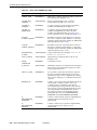
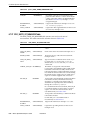
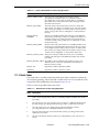
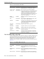
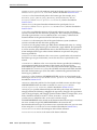
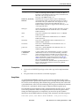
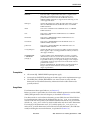
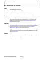
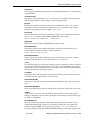
tin_extent
SDO_GEOMETRY object representing the spatial extent of the TIN (the minimum
bounding object enclosing all objects in the TIN. This parameter must not be null.
For geodetic data, this geometry must have two dimensions; otherwise, it can have up
to four dimensions. The dimensionality of this geometry is used as the minimum value
permitted for the tin_tot_dimensions parameter, as explained in the description
of that parameter.
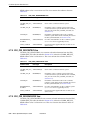
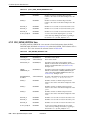
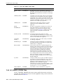
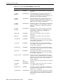
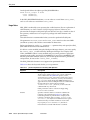
tin_tol
Tolerance value for objects in the TIN. (For information about spatial tolerance, see
Section 1.5.5.) If this parameter is null, the value is the tolerance associated with the
data.
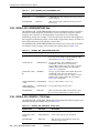
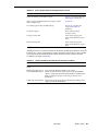
tin_tot_dimensions
A number specifying the total dimensionality of the TIN object. For each point in the
TIN blocks, tin_tot_dimensions ordinates (values) are stored.
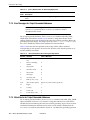
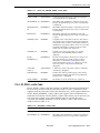
The total dimensionality must be greater than or equal to the index dimensionality,
which is the number of dimensions in the tin_extent geometry. Specifying total
dimensionality greater than index dimensionality enables necessary nonspatial
attributes to be retrieved in the same fetch operation with spatial data. The maximum
total dimensionality value is 8.
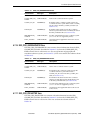
tin_domain
(Not currently used.)
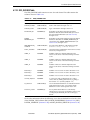
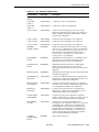
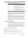
tin_break_lines
Line string or multiline string SDO_GEOMETRY object representing the break line or
lines in the TIN. If this parameter is null, the TIN contains no break lines. Break lines
typically represent road networks, cliffs, and ridges.
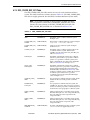
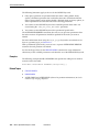
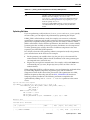
tin_stop_lines
Line string or multiline string SDO_GEOMETRY object representing the stop line or
lines in the TIN. If this parameter is null, the TIN contains no stop lines. Stop lines
typically indicate places where the elevation lines are not continuous, such as the slope
from the top to the bottom of a cliff. Such regions are to be excluded from the TIN.
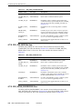
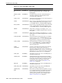
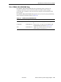
tin_void_rgns
Polygon or multipolygon SDO_GEOMETRY object representing planar surfaces that
have a constant elevation. If this parameter is null, the TIN contains no void regions.
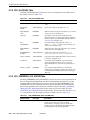
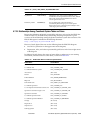
tin_val_attr_tables
SDO_STRING_ARRAY object specifying the names of any value attribute tables for the
TIN. If this parameter is null, the TIN has no associated value attribute tables. Type
STO_STRING_ARRAY is defined as VARRAY(1048576) OF VARCHAR2(32).
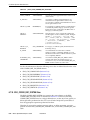
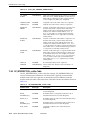
tin_other_attrs
XMLTYPE object specifying any other attributes of the TIN. If this parameter is null,
the TIN has no other attributes.
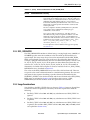
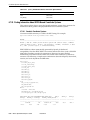
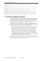
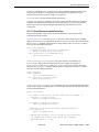
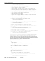
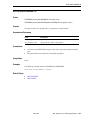
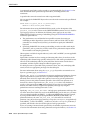
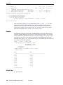
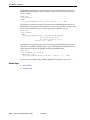
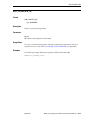
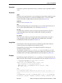
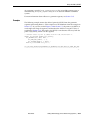
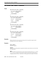
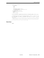
Usage Notes
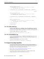
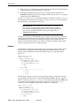
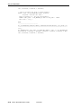
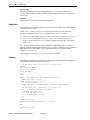
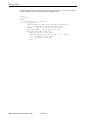
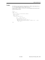
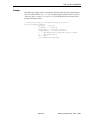
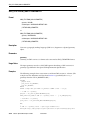
After you use this function to create an SDO_TIN object, you can create a TIN by
specifying this object as input to the SDO_TIN_PKG.CREATE_TIN procedure.
30-8 Oracle Spatial Developer’s Guide
Beta Draft