1
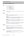
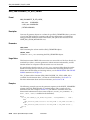
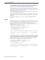
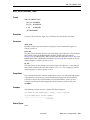
Index
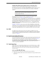
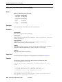
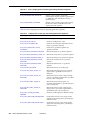
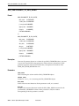
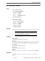
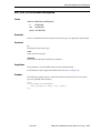
Symbols
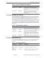
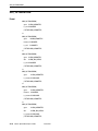
, 6-45, 6-46
Numerics
0
SRID value used with SDO_CS.VIEWPORT_
TRANSFORM function, 21-51
type 0 (zero) element, 2-28
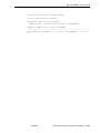
3D
formats of LRS functions, 7-7
not supported with geodetic data, 6-63
spatial objects, 1-15
solids, 1-18
surfaces, 1-17
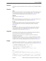
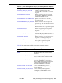
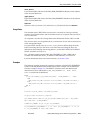
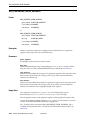
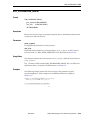
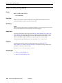
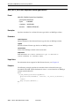
A
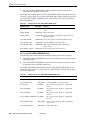
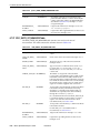
ADD_PREFERENCE_FOR_OP procedure, 21-4
addresses
representing for geocoding, 11-1
aggregate functions
description, 1-13
reference information, 20-1
SDO_AGGR_CENTROID, 20-2
SDO_AGGR_CONCAT_LINES, 20-3
SDO_AGGR_CONVEXHULL, 20-5
SDO_AGGR_LRS_CONCAT, 20-6
SDO_AGGR_MBR, 20-8
SDO_AGGR_UNION, 20-9
SDOAGGRTYPE object type, 1-14
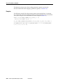
AGGREGATES_FOR_GEOMETRY function, 29-3
AGGREGATES_FOR_LAYER function, 29-5
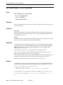
aliases, 6-17
ALL_ANNOTATION_TEXT_METADATA
view, 3-8
ALL_SDO_GEOM_METADATA view, 2-43
ALL_SDO_INDEX_INFO view, 2-46
ALL_SDO_INDEX_METADATA view, 2-46
ALTER INDEX statement, 18-2
REBUILD clause, 18-4
RENAME TO clause, 18-7
angle units, 6-42
annotation text, 3-7
ANYINTERACT
SDO_ANYINTERACT operator, 19-3
topological relationship, 1-12
APPEND function, 32-3
APPEND_TO_COLLECTION function, 32-5
application size (hardware) requirements, 1-22
application user management
identity propagation option, 17-2
arc
densifying, 24-7
not supported with geodetic data or for
transformations, 6-5
area, 24-9
area units, 6-42
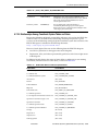
average minimum bounding rectangle, 31-2
AVERAGE_MBR procedure, 31-2
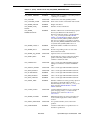
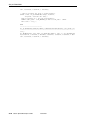
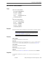
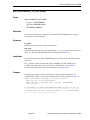
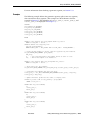
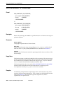
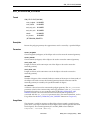
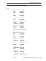
B
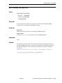
batch route requests, 13-18
DTD, 13-18
example, 13-15
batch route responses
DTD, 13-19
example, 13-15
batch_route_request element, 13-18
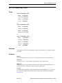
bearing
point at, 32-35
BIN_GEOMETRY function, 29-7
BIN_LAYER procedure, 29-9
binning
spatial, 8-3
See also bins
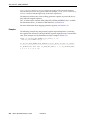
bins
assigning, 29-9
computing, 29-7
tiled, 29-21
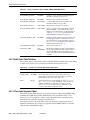
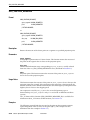
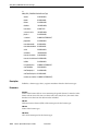
boundary
of area, 1-10
of line string, 1-11
of multiline string, 1-11
of polygon, 1-11
bounding rectangle
minimum, 31-7
box
optimized, 2-11
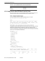
break lines, 1-17
Index-1