1
Detailed Operation
that have time available from a GPS receiver, age is based
on the time reported by the GPS receiver. For MX20s that
do not have have time available from a GPS receiver, age
is based on the time the data was received from the FIS
sensor. In this case, the age of the data may be older than
what is shown by the color coding.
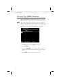
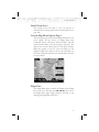
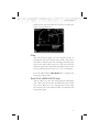
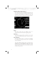
Graphical Weather (WX) Display
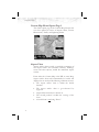
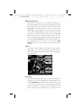
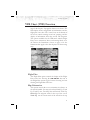
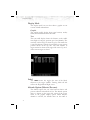
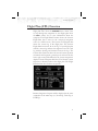
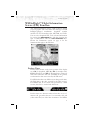
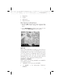
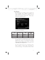
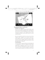
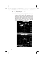
Weather radar images are available for display from the
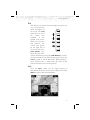
FIS sensor by selecting the Graphical WX option. A cyan
cross-hatch pattern indicates no data has been received
from the FIS sensor. Solid cyan areas represent areas
where the ground based weather radars are unable to
monitor weather. This is typically caused by terrain
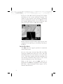
obstruction. When depicted, color coded weather intensity
is presented and is an indication of radar echo return
strength. The same colors are used for US and Canadian
weather. Because of weather radar differences, do not
assume that the same actual weather intensities are
represented by the same colors. The intensities associated
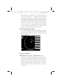
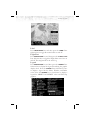
with the color codes are available by viewing the Legend
Overlay Option. The legend associated with the weather
radar image is shown for the depicted radar data, US or
Canadian.
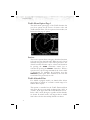
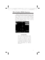
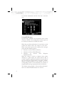
Graphical WX Overlay Options
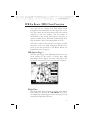
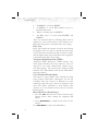
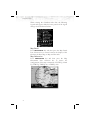
A variety of graphical information is available with the
Overlay function that is available when viewing the
Graphical WX display. Press the OVRL function key to
view and select available options. Some or all of the
following may be available, based on your FIS
subscription.
72
·
METARs, US, and/or Canadian (determined by
subscription)
·
SIGMETs & AIRMETs
·
Echo Tops
·
TFRs
·
US and/or Canadian Weather Radar (determined by
subscription)
·
Label