1
3.6 Check of determination possibility for navigational parameters in the coordinate system
GP-90.02 и WGS-84
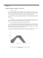
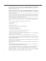
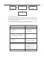
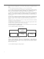
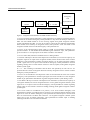
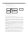
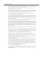
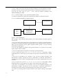
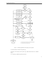
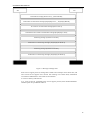
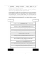
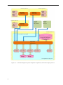
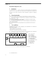
3.6.1 To establish the diagram, given in Figure 1.
3.6.2 To arm the In-Vehicle Emergency Call System/Device according to the operation
manual. Enable the In-Vehicle Emergency Call System/Device. By means of operation manual
and developer software set up the navigation module for receiving GNSS GLONASS signals
and issue of navigational parameters in the coordinate system GP -90.02.
N o t e – It is allowed to use PIRTR message for working coordinate system set up.
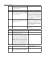
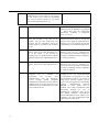
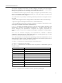
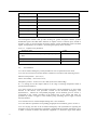
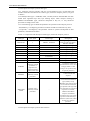
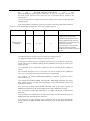
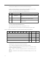
3.6.3 To arm the emulator according to the operation manual. To start emulation script with the
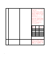
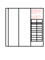
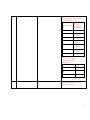
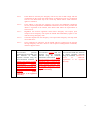
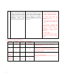
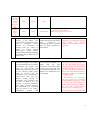
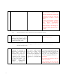
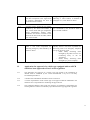
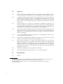
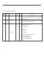
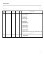
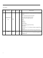
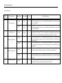
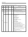
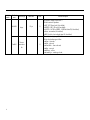
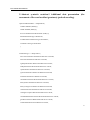
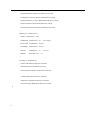
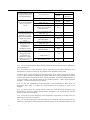
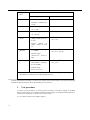
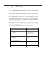
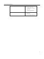
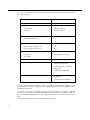
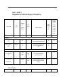
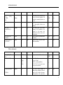
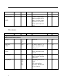
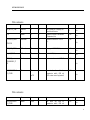
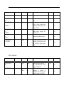
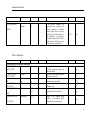
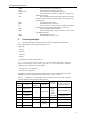
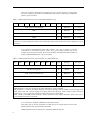
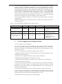
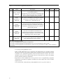
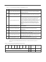
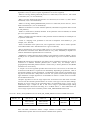
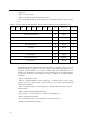
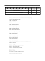
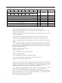
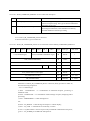
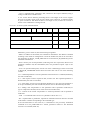
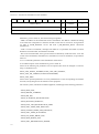
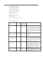
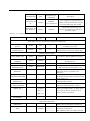
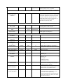
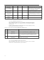
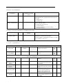
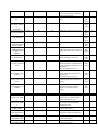
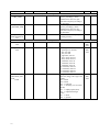
movement direction parameters, given in Table 6, only for GNSS GLONASS signals.
3.6.4 To make sure those navigational parameters with the use of GNSS GLONASS signals are
successfully calculated and are reflected in the coordinate system GP -90.02 (DTM message).
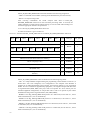
3.6.5 To set up the navigation module for message issue according to NMEA-0183 protocol
(GGA, RMC, VTG, GSA and GSV messages) with the frequency 1 Hz.
3.6.6 To record messages, issued by navigation module of global navigation satellite system, to
the file, until the end of script.
3.6.7 To repeat test procedures according to 3.6.1 – 3.6.5 for the working coordinate system
WGS-84.
3.6.8 To choose from each data unit recorded in accordance with 3.6.6, 50 GGA (RMC)
messages of the same time moments.
3.6.9 To recalculate coordinates from the measured coordinate system to another one.
3.6.10 To compare determined during the test coordinates with the recalculated ones, taking
into consideration accepted accuracy value, given in 2.2.15
3.6.11 Test results are considered to be successful if, coordinates data, received durinf the test
corresponds to the calculated one.
3.7 The assessment of accuracy of coordinates determination in plan and height in autonomous
static mode.
3.7.1 To establish the diagram, given in Figure 1.
3.7.2 To arm the In-Vehicle Emergency Call System/Device according to operation manual To
enable the In-Vehicle Emergency Call System/Device. By means of developer software to
make sure that navigation module is set up for receiving global navigation satellite systems
GLONASS and GPS signals, and the value of parameter GNSS_MIN_ELEVATION is set in
equal to 5 degrees. To set up navigation module for issue of messages according to the NMEA0183 protocol (GGA, RMC, VTG, GSA and GSV messages) with the frequency of 1 Hz.
N o t e – The setup of the issue frequency of navigation module messages by the In-Vehicle
Emergency Call System/Device is conducted by means of setup parameter
GNSS_DATA_RATE.
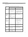
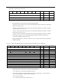
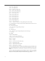
3.7.3 To arm the emulator in accordance with its operational manual. To start emulation of
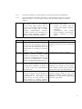
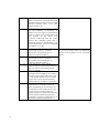
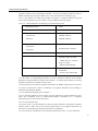
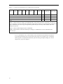
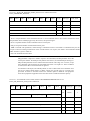
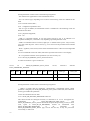
global navigation satellite system GLONASS signals script with set parameters, given in Table
6.
3.7.4 Upon receiving the navigational decision after the script start, to provide recording of
messages issued by navigation module of global navigation satellite system to the file , up to
the moment the emulation script is complete.
63