1
GeoModeller User Manual
Contents | Help | Top
•
•
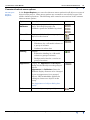
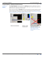
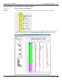
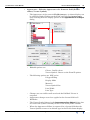
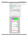
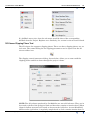
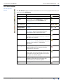
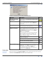
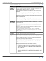
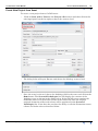
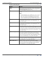
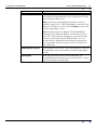
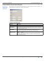
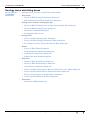
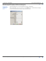
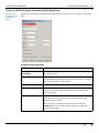
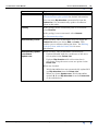
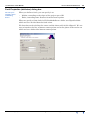
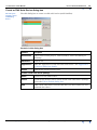
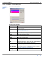
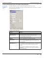
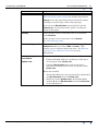
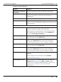
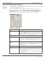
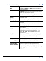
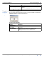
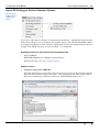
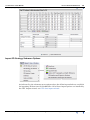
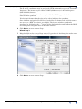
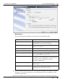
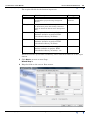
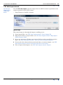
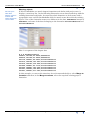
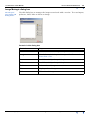
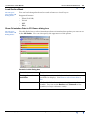
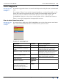
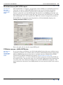
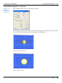
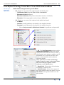
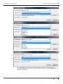
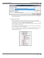
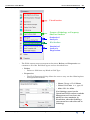
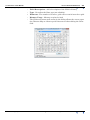
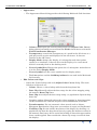
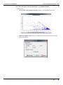
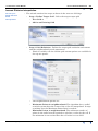
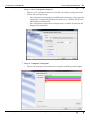
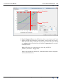
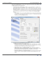
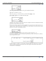
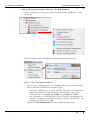
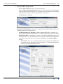
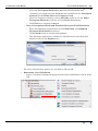
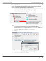
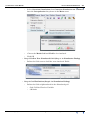
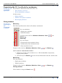
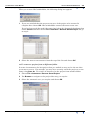
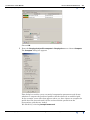
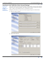
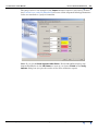
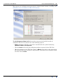
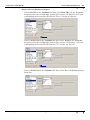
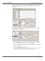
Select the Variogram Analysis to use from the drop down lists
•
Normally you would select the Unit that was modelled in the Variogram
Analysis for the Filled Unit and Geometry Used
•
There are Toggles available to select All Units and/or to use the Same
Variogram Analysis for all the selected Units (Formations)
•
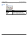
Click Next > to continue to Step 4
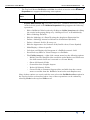
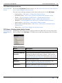
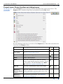
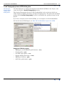
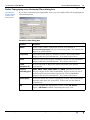
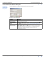
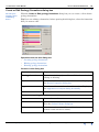
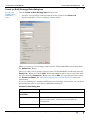
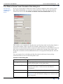
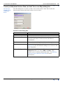
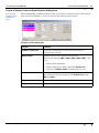
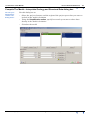
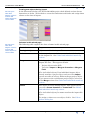
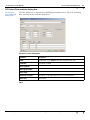
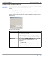
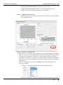
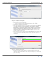
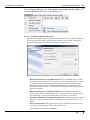
Step 4. Interpolated Field and Standard Deviation Field Definition
•
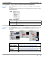
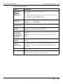
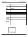
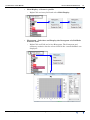
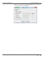
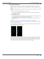
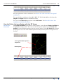
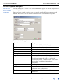
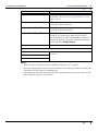
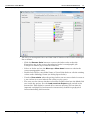
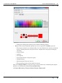
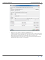
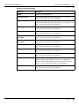
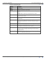
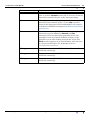
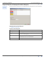
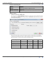
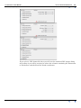
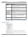
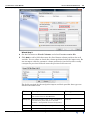
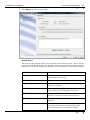
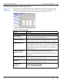
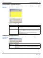
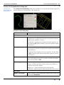
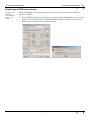
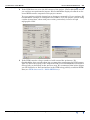
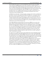
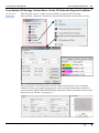
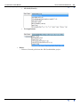
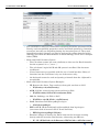
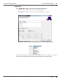
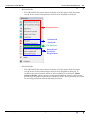
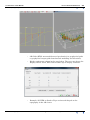
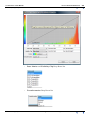
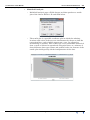
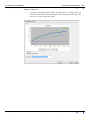
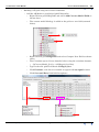
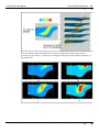
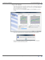
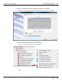
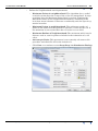
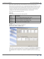
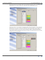
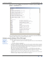
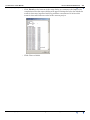
Enter interpolation output names in the Field Name and Standard
Deviation Field Name data boxes
•
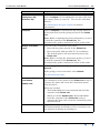
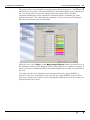
Click Finish button to run the interpolation
•
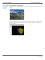
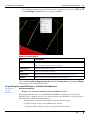
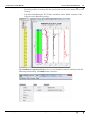
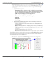
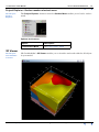
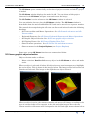
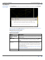
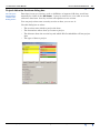
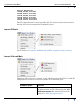
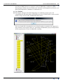
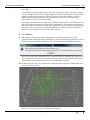
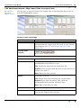
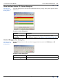
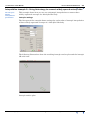
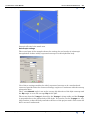
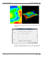
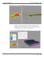
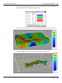
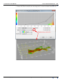
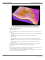
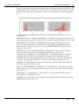
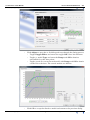
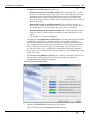
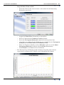
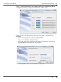
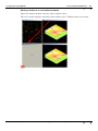
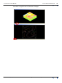
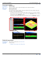
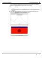
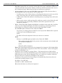
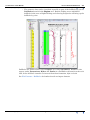
The 3D output grid will be available for visualisation in the Grids and
Meshes section of the Explore tree.
•
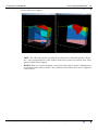
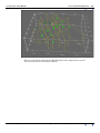
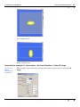
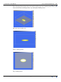
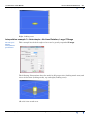
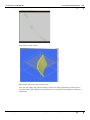
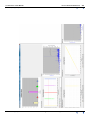
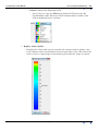
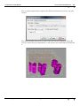
The usual Visualisation options are available in 2D and 3D.
•
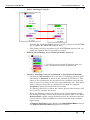
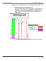
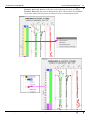
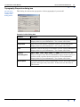
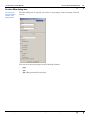
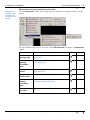
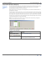
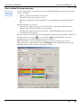
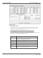
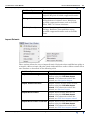
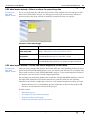
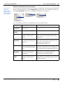
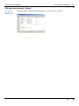
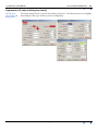
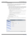
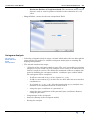
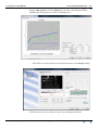
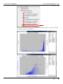
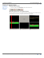
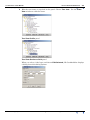
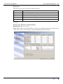
Domaining Cross Validation
•
Contents Help | Top
3D GeoModeller Reference 319
| Back |
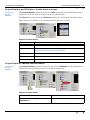
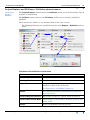
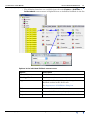
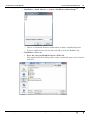
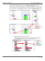
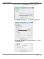
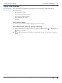
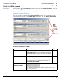
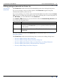
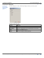
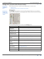
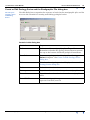
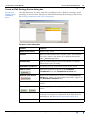
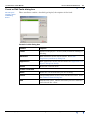
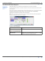
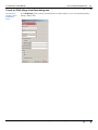
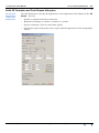
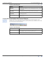
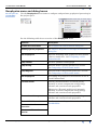
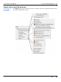
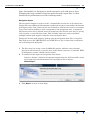
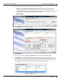
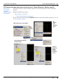
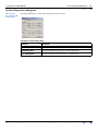
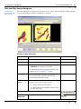
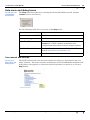
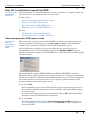
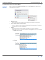
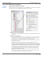
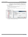
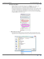
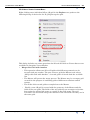
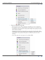
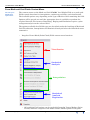
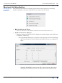
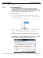
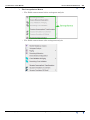
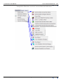
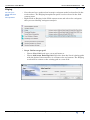
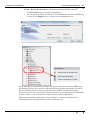
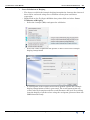
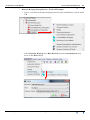
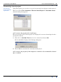
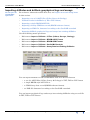
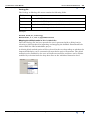
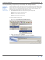
Select a variable for domain kriging from the Grids and Meshes context menu
OR
© 2013 BRGM & Desmond Fitzgerald & Associates Pty Ltd
| Back |