1
Once land use categories are set, the next step is to import the land use shape
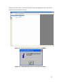
file. Go to File / Import / Land Use and select the land use shapefile
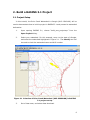
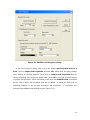
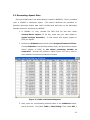
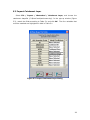
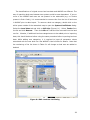
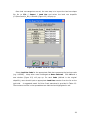
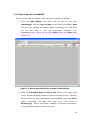
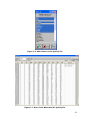
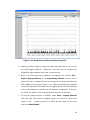
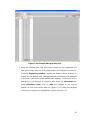
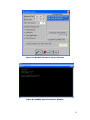
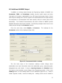
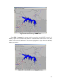
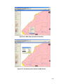
(C:\BrierCreek\lu_dd). A window (Figure 6.2) will pop up.
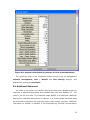
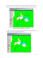
Figure 6.2 WARMF Land Use Import Dialog
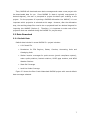
Select Land Use Code for the appropriate field that represents the land use code
(e.g. LUCODE).
Keep other rows unchanged as None Selected.
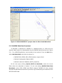
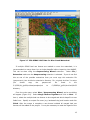
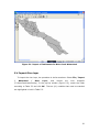
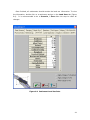
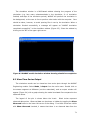
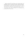
Click OK and a
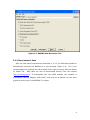
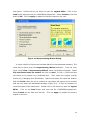
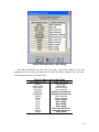
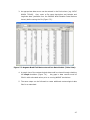
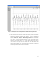
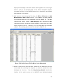
new window (Figure 6.3) will pop up. For each Code (defined in the original
shapefile), users should input an appropriate Land Uses number from the list on the
right side.
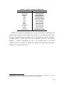
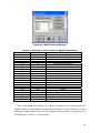
A suggested match for Brier Creek watershed is provided in Table 6.3.
The numbers to enter in the spreadsheet are italicized and highlighted in red.
39