1
PAVER™ attributes for their database. Once an Inventory shapefile is generated, it will have a .dbf
file as part of it The .dbf file contains the shapefiles attribute information, and it can be opened and
converted in Microsoft Excel, as well as a number of other programs, depending on the user’s needs.
Shapefile Coordinate Shift
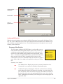
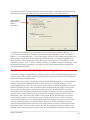
The Shapefile Coordinate Shift module functions like the PAVER™ Shapefile Converter discussed
above, but this module also allows you to shift the coordinates of the shapefile during conversion.
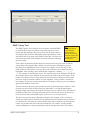
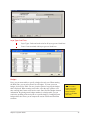
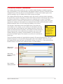
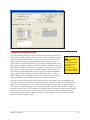
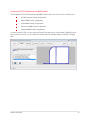
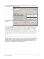
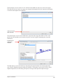
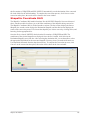
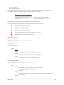
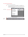
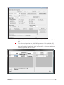
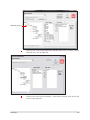
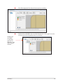
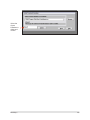
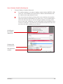
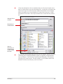
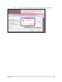
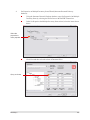
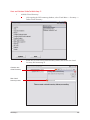
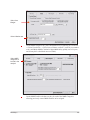
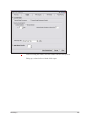
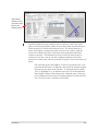
The Shapefile Coordinate Shift is divided into three sections. The first section displays the Source
Shapefile, the second section displays the Destination Shapefile, and the third section displays the
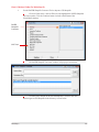
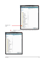
results of the conversion process. First locate the shapefile you wish to convert by clicking Select, and
browsing for the appropriate files.
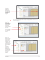
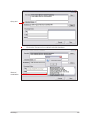
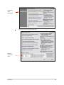
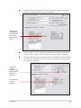
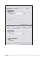
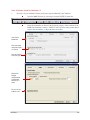
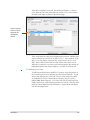
Once the file is selected, PAVER™ checks that the file contains a UNIQUEID and PID. The
coordinates of the selected shapefile are displayed. Once the file is loaded, click Select in the
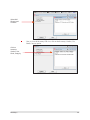
Destination Shapefile area of the box. After selecting the destination file, you are then able to select
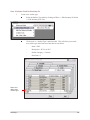
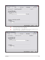
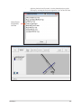
the appropriate Shift Mode for the converted shapefile. You may select a pre-made shift mode or a
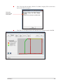
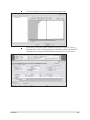
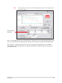
User-Specified shift mode from the drop-down list box. To complete the conversion process, click
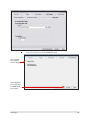
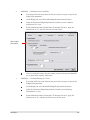
Convert. As the conversion takes place, the results will be shown in the lower window.
Chapter 14: GIS Tools
113