1
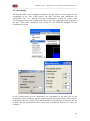
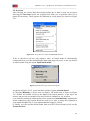
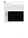
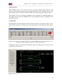
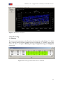
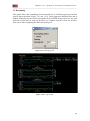
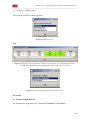
EM4Soil-v1.05 – a program for 1D Laterally Constrained Inversion ______________________________________________________________________ Figure 5.5.18 will appear when the GPS correction option is selected. This allows the instrument orientation, the GPS location and the method of GPS correction to the a data collected by each sensor. This last option is valid only for DUALEM instruments. Please, read APPENDIX C for further details. NOTE: Site correction should be applied at profiles. It can be used also in mapping surveys if data was collected in continuous parallel profiles (bidirectional acquisition ↑↓↑). Note that the correction assumes that the transmitter loop is behind receivers during the acquisition. Figure 5.5.18. Drop down box menu for GPS correction option. 5.5.9 Converting Latitude and Longitude to UTM The Lat/Long to UTM option tool allows the conversion of GPS data acquired in Latitude and Longitude into UTM coordinates. This conversion is possible for five datum selecting the appropriate central meridian of the zone. The calculations are based on the formulas presented by Steven Dutch (http://www.uwgb.edu/dutchs/usefuldata/utmformulas.htm). 25