1
the files to be imported must first be imported to the Navi-Manager.
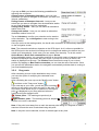
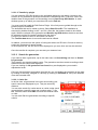
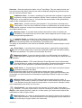
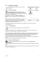
Update - Updates the content of the windows if, for example, you have imported a GPX file
again.
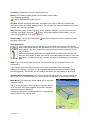
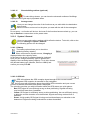
You can display your waypoints, tracks and geocaches on the map.
Altitude and speed profiles and the time required for the tracks can be called up.
Transfer and save GPX files to the PC
To save imported GPX files and GPX files you have created yourself to the computer,
proceed as follows:
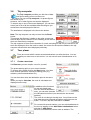
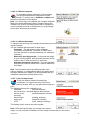
1. Select the file you want and use the Save button.
2. Once you have acknowledged the notice about the intended storage location with OK, two
entries will appear in your list. There is an entry for the GPX file on your navigation device
and an entry for the GPX file on your computer.
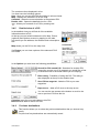
3. To find the file you want again on your PC, mark the file and, by clicking the right mouse
button, call up the menu item Show folder. The folder in which the GPX file has been saved
is automatically opened.
Delete GPX files from the navigation device
To delete recorded or imported GPX files from your navigation device, please perform the
following steps:
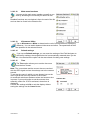
1. Select the file you want and use the Delete from Flash button in the function bar on the
right.
2. Confirm the notice with Yes to remove the file.
Import GPX files from your PC to the navigation device
To import downloaded GPX files to your navigation device, please perform the following
steps:
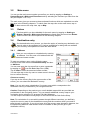
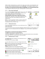
1. Select the button Import.
2. Search for the file you want on your PC, select it and use the button Open.
3. The file has now been imported to the GPX manager and can now be saved on the
navigation device.
4. Mark the file you want and choose Copy PC > Flash in the bar on the right.
The GPX file is now saved on your navigation device and can be used.
Edit GPX files
To edit the name or the description of tracks or waypoints, proceed as follows:
1. Select the element you want and use the button Edit.
2. A window will open up in which you can change the name and description as you wish.
GPX files on the map view
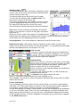
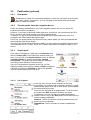
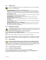
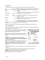
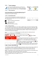
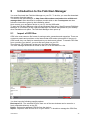
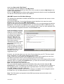
In the GPX manager, you can display waypoints, tracks and geocaches that you have
created yourself. The map can be moved using the arrows and the hand icon. The zoom
level of the map can be changed with "+" and "-". Viewing options such as satellite and map
are located at the top right-hand edge of the map view screen.
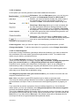
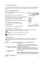
In the bottom section of the GPX manager, you can display the altitude and speed profiles,
length, time and description of tracks and waypoints. If no information exists in relation to
this, the detailed view remains empty at this point.
If no actually required time exists, the anticipated required time is calculated based on the
average speeds for cyclists and pedestrians which exist in the navigation device.
User Manual
47