1
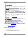
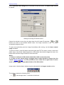
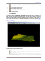
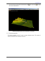
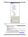
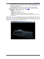
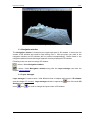
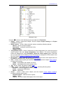
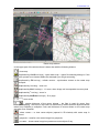
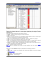
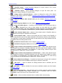
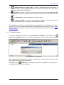
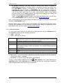
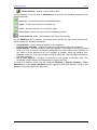
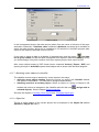
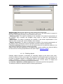
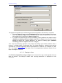
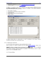
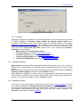
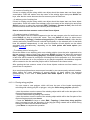
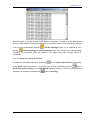
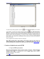
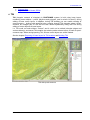
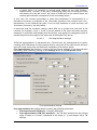
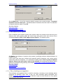
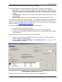
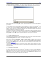
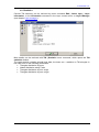
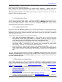
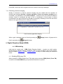
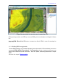
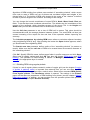
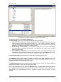
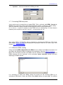
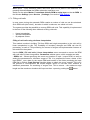
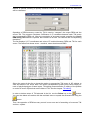
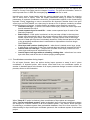
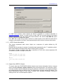
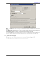
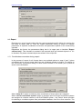
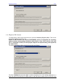
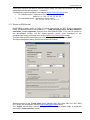
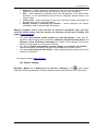
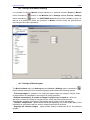
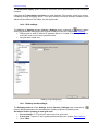
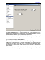
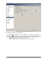
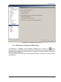
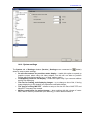
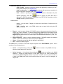
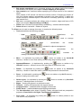
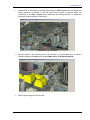
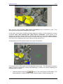
Project processing 2011 Action Log To undo the last editing operation, press the button (Undo last action) on the toolbar button (Redo last undone of the window. To redo the last undone operation press the action). To cancel the group of actions, double-click the left mouse button on the line with the action, to which you want to roll back the changes. Fields with an undone action are marked in italics (see the screenshot). To redo the undone changes, double-click the left mouse button on the field which changes you want to revert. Pushing the Clear undo log button leads to the removal list of operations and as result the undo and redo operations become impossible. There is separate list of actions to cancel for each layer. Note: While working with a large number of 3D vectors using the undo mode, the editing operations may be performed slowly. To disable the undo mode use the Service | Settings menu command, the Undo section (see also chapter Undo settings). 5. Creation of digital terrain model (DTM) 5.1. Types of DEM representation Main type of digital elevation model is irregular network of triangles – TIN (Triangulated Irregular Network). TIN may be transformed into regular grid resulting in creation of digital elevation model (DEM) or represented as a set of contour lines (terrain contours, submarine contours or other isolines). See also the chapter: TIN 69 RACURS Co., Ul. Yaroslavskaya, 13-A, office 15, 129366, Moscow, Russia