1
Level 1
Level 2
EIS
Flight
Instruments
Appendix
Level 3
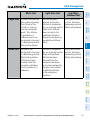
Description
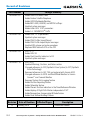
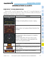
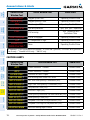
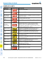
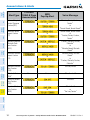
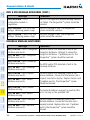
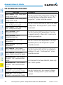
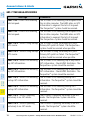
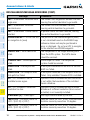
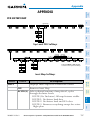
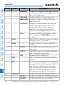
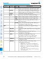
PATHWAY
Displays rectangular boxes representing
the horizontal and vertical flight path of
the active flight plan
Enables synthetic terrain depiction
Flight
Planning
GPS Nav
AFCS
Nav/Com/
XPDR/Audio
SYN TERR
Procedures
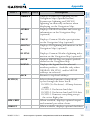
DFLTS
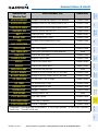
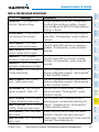
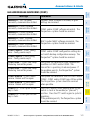
DME
Select to display the DME information
window
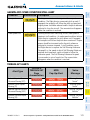
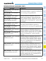
BRG
Cycles the Bearing Information Window
through NAV1, NAV2 (omitted if BRG2
installed) or GPS/waypoint identifier
and GPS-derived distance information,
and ADF. All Bearing labels will be
Appendix
Annun/
Alerts
Abnormal
Operation
Additional
Features
Hazard
Avoidance
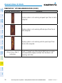
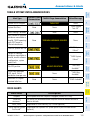
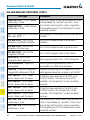
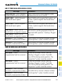
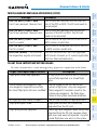
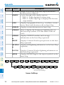
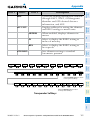
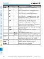
WIND
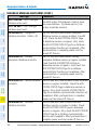
HRZN HDG Displays compass heading along the
Zero-Pitch line
APTSIGNS Displays position markers for airports
within approximately 15 nm of the
current aircraft position. Airport
identifiers are displayed when the
airport is within approximately 9 nm.
Enables the Flight Path Marker when
FPM
SVT is disabled. HRZN HDG must be
enabled.
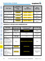
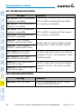
Resets PFD to default settings, including
changing units to standard
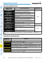
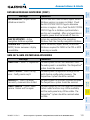
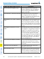
Displays softkeys to select wind data
parameters
Wind direction arrow with direction
OPTN 1
and speed
Wind direction arrows with headwind
OPTN 2
and crosswind components
Information not displayed
OFF
labeled BRG1 if BRG2 is installed.
Index
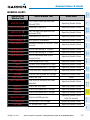
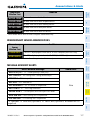
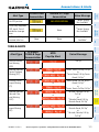
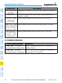
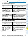
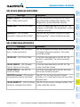
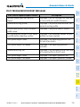
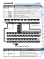
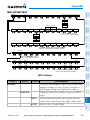
HSI FRMT
360 HSI
ARC HSI
160
Displays the HSI formatting softkeys
Displays the HSI in a 360 degree format
Displays the HSI in an arc format
Cirrus Perspective™ by Garmin – Cockpit Reference Guide for the SR20/SR22/SR22T
190-00821-10 Rev. A