1
MODFLOW Interface
16-29
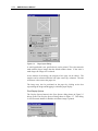
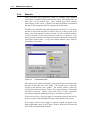
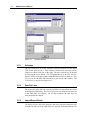
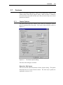
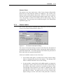
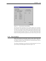
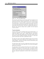
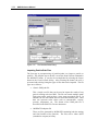
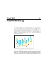
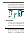
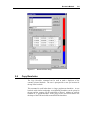
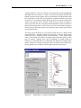
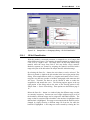
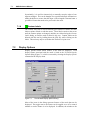
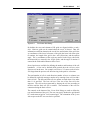
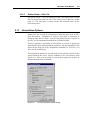
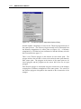
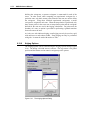
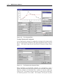
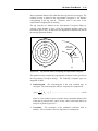
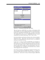
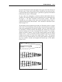
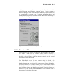
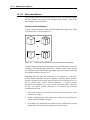
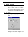
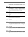
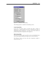
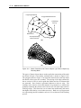
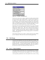
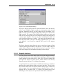
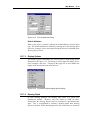
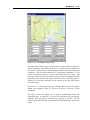
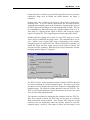
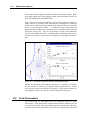
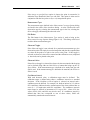
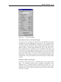
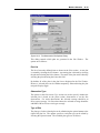
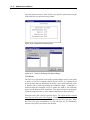
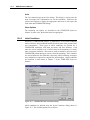
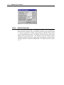
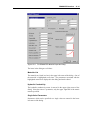
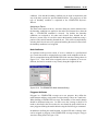
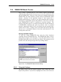
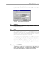
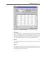
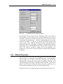
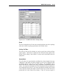
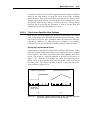
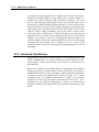
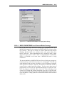
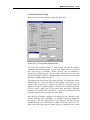
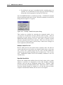
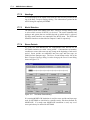
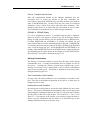
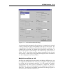
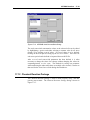
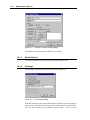
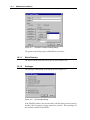
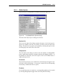
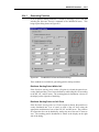
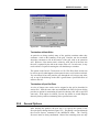
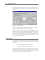
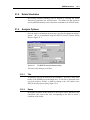
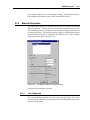
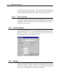
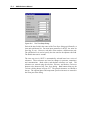
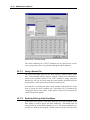
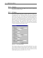
Figure 16.13 The Stream/Aquifer Interaction Package Dialog.
The top section of the dialog is used to specify the output options. The
Compute stages toggle is used to specify whether the Stream package should
compute the stages (specified stages are initial values only) or whether the
specified stages should be used directly. The first spreadsheet lists the reach
values and the second section lists the segment values.
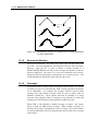
16.11 Areal Sources/Sinks
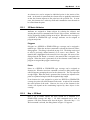
In addition to the points sources/sinks described above, two types of areal
sources/sinks can be simulated with MODFLOW: recharge and
evapotranspiration. They are called areal attributes because in both cases, a
value or set of values must be defined for each vertical column of cells; i.e., a
2D array of values is defined representing the variation of the parameter over
the XY plane.
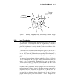
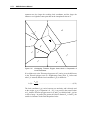
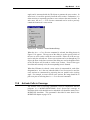
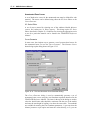
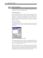
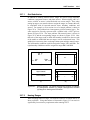
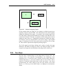
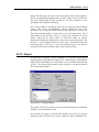
Recharge and evapotranspiration can be defined one of three ways. The
simplest method is to use the Map module. With the Map module, one of the
coverage types is designed for areal sources/sinks. This coverage type can be
used to generate a set a polygons representing recharge zones or
evapotranspiration zones. The constant or time series values assigned to these
zones are automatically assigned to the proper cells when the conceptual
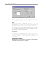
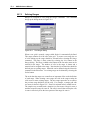
model is converted. Another method for assigning areal sources/sinks is to
select a set of cells and assign the values directly using the Areal
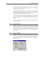
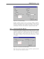
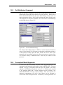
Sources/Sinks command. A third option is to edit the values in a spreadsheet
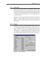
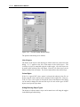
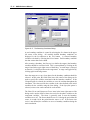
format using the Recharge and Evapotranspiration dialogs.