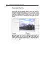
1
78
Trimble Access for Spatial Imaging User's Guide
Inputting Known Point Coordinates
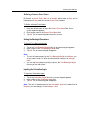
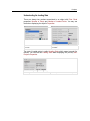
To Input Known Point Coordinates:
1.
2.
3.
4.
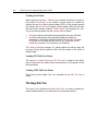
Tap in the X field. An on-screen numerical pad appears next to the X
field.
Input a value in the X field.
Tap Ok. The on-screen keypad closes by its own.
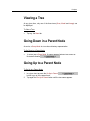
Repeat the steps from 1 to 3 for the Y and Z fields.
Note: The unit of measurement for X, Y and Z is by default set to Meters; you
can change it in the Settings / Units.
Tip:
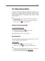
The newly created Known Point is put in a list. You may see that list by
tapping Back (once the Create Known Point step has been completed).
Instead tapping Ok, you can also use the Tab button. The on-screen
keypad jumps to the next filed to edit.
Note: The created Known Point is put under a Topographic Station which
name is Control Points. Its related Target (once measured) is created and put
under the current Station.
Importing a List of Known Points
To Import a List of Known Points:
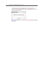
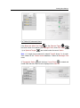
Tap Import. The Import Project window opens.
Choosing a Destination Folder
A Destination Folder is a Local Folder in your Trimble Rugged Tablet
Computer drive. You can choose between a pre-defined Local Folder and a
user-defined Local Folder.