1
248
Trimble Access for Spatial Imaging User's Guide
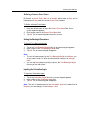
Editing Parameters in Mesh(es)
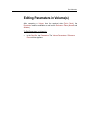
After computing a Mesh from the acquired data (Point Cloud), the Resolution
remains modifiable as well as the Reference Plane (only Normal).
To Edit Parameters in Mesh(s):
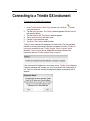
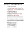
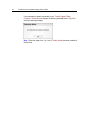
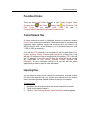
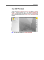
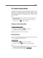
In the Step Bar, tap Parameters. The Mesh Parameters / Reference
Plane window appears.