1
GeoModeller User Manual
Contents | Help | Top
Tutorial case study K (Dykes)
3
| Back |
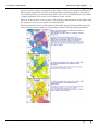
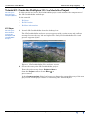
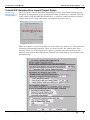
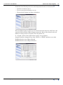
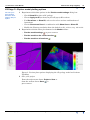
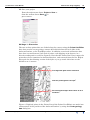
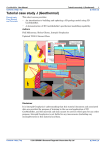
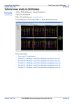
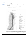
around 7 dolerite dykes all mapped on the surface and one also logged in a borehole.
The geology map shown is from a 1978 hand drawn exploration map of the general
area. Subsequently, several producing mines have been established and each of them
is highly profitable. The project box is 20km x 30 km x 5 km.
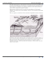
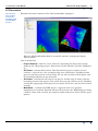
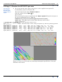
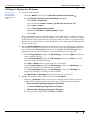
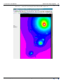
The aim of the exercise is to reconcile a 3D geological interpretation of the dykes with
the magnetic survey as an aid for the mine planners.
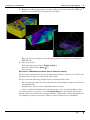
The interpretation below is illustrative of how dyke magnetization studies can help
sort out major tectonic shifts in your geology and their timings.(ref.Henry Halls)
Contents Help | Top
© 2013 BRGM & Desmond Fitzgerald & Associates Pty Ltd
| Back |