1
Auxiliary Features - Photos, GIS, Status Tracking, E-Mail
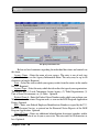
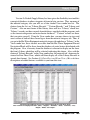
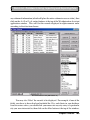
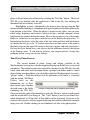
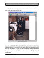
that if you find the location to be different from the originally displayed location, you
may click on the pin and drag it to its correct location. This will not change the
address, but will update the coordinates of the location, which preserves your change
for future references via the GIS mapping. On exiting the map, you will asked to
confirm your desire to preserve this change.
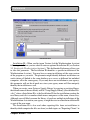
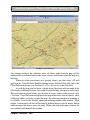
Most of the useful features associated with this use of GIS are accessed by right
clicking your mouse on the map. Doing so will produce a menu from which you may
zoom in or out, return to the previous scale ("Unzoom"), have the location displayed
on a map of the entire state or country, enter a different address to locate, or print the
map. An alternative method of zooming in is to outline a rectangular sub-area of the
map by holding down your left mouse button while moving your mouse across the
map. When you release the mouse button, the area outlined will then fill the window.
Client Selection
The second use for the GIS feature is to select clients or simply view a group
of clients. It will be accessed from the Select Clients button located either on the
Agency Information tab under the Agency Main Menu item or from the "Exporting
Clients (via text files)" button under the Data Link Main Menu item. See the
discussion on "Selecting Client Records" at the end of Section 12.4, "Data Transfer Import/Export via Text Files for initiation of the GIS map using the "Use Map"
button on the Client Selector form.
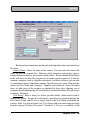
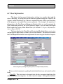
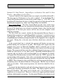
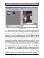
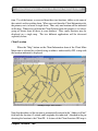
The map displayed when initiated in this mode will likely have multiple
locations denoted by pins. Note that the pins are of two different colors, red and
green. The map was initiated from a Client Selector form in which some clients may
have already been selected. The map indicates this by having the selected clients’
locations designated with the green pins. Un-selected clients have red pins.
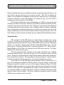
One of the uses of the GIS map initiated from the Client Selector form is to
give you an alternative method of selecting clients. You may change a client from
being un-selected to selected, or vice versa, by simply clicking on the pin. If all the
locations within a specific area are to have their selection status changed, activate the
"Selects" check box at the top middle of the window, place your mouse at a corner
of a rectangle which is to enclose the clients of interest, and drag your mouse to the
opposite corner of the rectangle. All clients within the rectangle you have outlined
will have their selection status reversed.
Chapter Thirteen • 199