1
Menu options
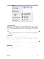
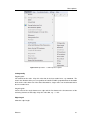
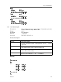
Line Attraction
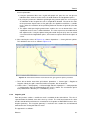
Here, you have again to ‘Indicate a line’, by marking its end points, and to ‘Indicate an influence
area’ (see Edit → Line → Shift). The grid will be attracted to the indicated line, making use of
the line transformation described above, in the field indicated by the influence area.
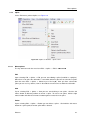
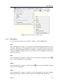
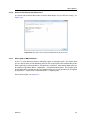
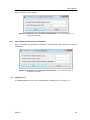
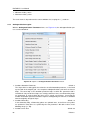
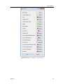
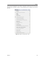
In Settings → General the parameter Attraction/Repulsion Parameter can be changed, see
Figure 5.42.
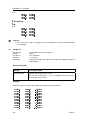
Line Repulsion
The reverse of Edit → Line → Attraction.
In Settings → General the parameter Attraction/Repulsion Parameter can be changed, see
Figure 5.42.
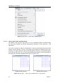
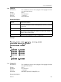
Line to Land Boundary
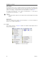
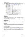
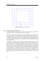
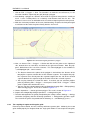
The edge of the grid can be fitted to a land boundary by hand, using the Edit → Line → Shift
option, or automatically, using the present option, Edit → Line → Line to Land Boundary.
The automatic option may not always deliver exactly what you want. This can be caused by
irregular shapes in the land boundary. However, we do not want to be compelled to analyse
and polish up the land boundary a priori, in the digitising phase.
Therefore, both the automated and hand option are included in the program. Just indicate the
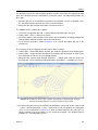
first and last point of the line that you want to fit to the land boundary. Then click the right
mouse. Next, all intermediate points will be translated to their nearest land boundary. Then, a
line shift will be performed, equal to the one mentioned above, shifting the indicated line and
the surrounding grid. Press Esc three times if the result is unsatisfactory. The original grid will
then be restored. The algorithm which decides to which land boundary line segment the grid
line should be attracted, first looks for the closest land boundary point. An error may occur
here, if the closest land boundary line segment is very long, and land boundary points of other
segments are more close to the indicated grid line. In that case open the land boundary as
a polygon and add (insert) some points to the long land boundary segment, so that points on
this segment are closest to the indicated grid line.
Irregular grid on Land Boundary
TODO(??): Under construction
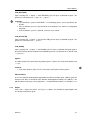
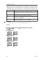
Line to spline
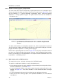
Similar as line to land boundary. If you do not need the spline grid anymore, first delete the
splines and then draw just 1 spline to which you want to attach the grid.
Deltares
35