1
10.3.5
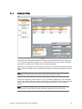
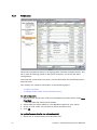
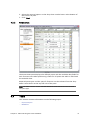
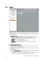
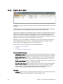
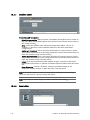
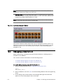
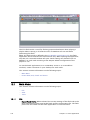
Satellite Editor
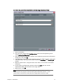
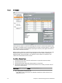
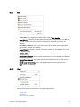
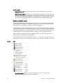
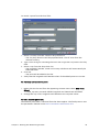
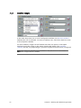
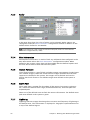
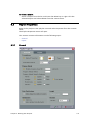
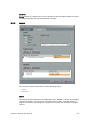
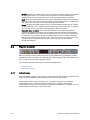
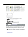
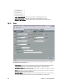
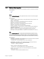
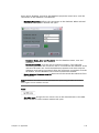
Properties and Parameters
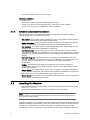
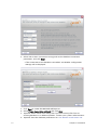
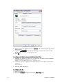
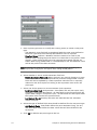
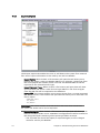
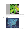
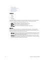
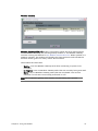
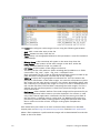
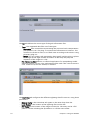
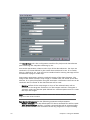
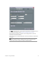
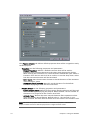
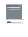
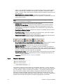
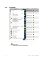
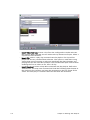
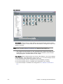
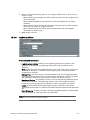
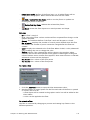
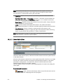
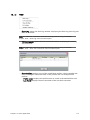
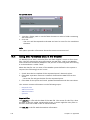
• Satellite layer visible: When checked, all Satellite information will be visible to
the user. When unchecked Satellite layer will be turned off and will not show in
the render window.
• Area: select the satellite from which the images were taken. The list of
satellites is derived from the satellites defined in the fetch parameters
configuration.
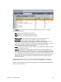
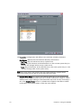
• Alpha min threshold: Sets a minimum threshold of an alpha value (0=black,
255=white). All the parts of the image under the minimal threshold will be cut
from the satellite image (luminance key).
• Alpha max threshold: Sets a maximum threshold of an alpha value (0=black,
255=white). All the parts of the image above the maximal threshold will be cut
from the satellite image (luminance key).
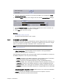
• Latest: Uses the latest downloaded satellite images. The path to the latest
downloaded information is defined in the Data Import window under the Fetch
tab.
• From Directory: Choose a directory containing satellite images to be
displayed. Use the browser or type the path in the text field.
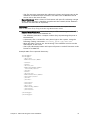
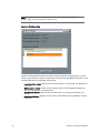
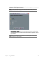
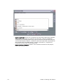
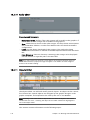
Note: If no satellite images are found or if some data is missing from the time range
set for the data element, a popup message will appear.
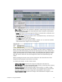
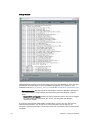
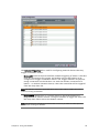
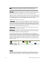
Note: The number of satellite images is shown in the editor after loading.
10.3.6
134
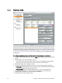
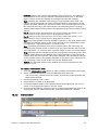
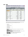
Map Editor
Chapter 10: Working with Data Elements