1
Precise Surveying - Field Applications & Concepts
About The Different
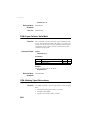
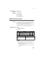
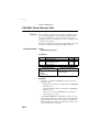
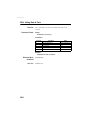
Virtual Antennas
Existing Today
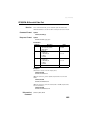
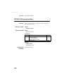
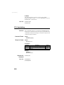
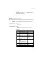
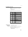
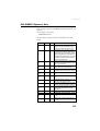
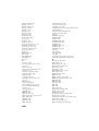
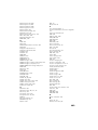
There exists different virtual antennas, with different names
and specifications. However behind all these antennas is the
same function assigned to the receiver, which is to correct the
raw data for the point(s) of data collection defined for the
virtual antenna.
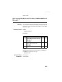
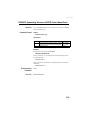
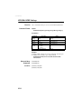
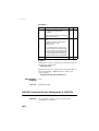
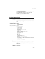
One of the most widely used virtual antennas is the
“ADVNULLANTENNA” antenna. Most Ashtech products
implicitly select this antenna when the virtual antenna
function is enabled. However other virtual antennas may be
selected, requiring the use of a few proprietary serial
commands ($PASH).
NOTE: You are right if you think only one virtual antenna
should have been defined worldwide. Unfortunately this is
not the case. Probably several initiatives were started at the
same time for the same purpose, giving rise to several
antenna names and specifications.
Cases of Use
As seen above using a “virtual” antenna makes sense when
having to collect raw data. It also makes sense in RTK
surveying because rovers need to know the type of GNSS
antenna the base uses to generate its corrections.
Using a virtual antenna is recommended in the following
cases:
• You are working with surveying equipment and software
from different manufacturers.
• You are producing raw data files that you share with a lot
of other people from other companies
• You are providing base raw data or RTK corrections to a
large number of users who do not necessarily use
surveying equipment from the same manufacturer.
Ellipsoidal Height and Elevation
The vertical coordinate measured by GNSS systems is worth
an explanation. Behind this coordinate in fact lies the
specificity of GNSS systems compared to conventional
surveying systems.
Basically, all positions delivered by GNSS systems consist of
geographic coordinates (latitude, longitude, height)
referenced to an ellipsoid, called reference ellipsoid, which is
a simple and accurate model to describe the shape and
surface of our planet.
69