1
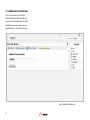
3.1 3D Map
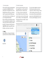
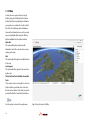
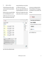
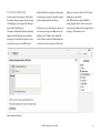
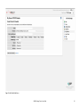
You may also view your position on Google
Earth by using the 3D Map link in the bottom
toolbar. This feature is particularly useful when
your position is near either the South or North
Pole. Note: The detailed position information
shown in the information boxes on the normal
map is not available while using the 3D Map.
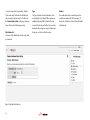
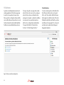
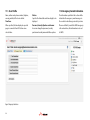
Options available from the bottom toolbar:
Status Bar
This option will display a status bar with
information about the current location you are
viewing on the map
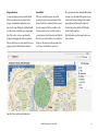
Grid
This option will add longitude and latitude lines
to the map
Scale Legend
This option will add a legend to the map showing the scale.
Track Start Date, Track End Date, Show/Hide
Track
These options can be used together to show (or
hide) a track for a particular device. Just enter
the start and end dates for the track you wish to
view and then hit the Show/Hide Track button
Use this option to return to the regular map.
10
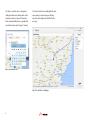
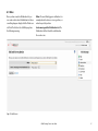
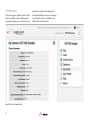
Figure 9 Device position shown on the 3D Map