1
TUTORIAL
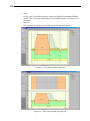
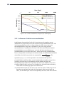
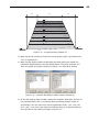
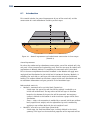
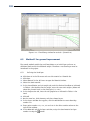
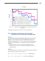
Sand load
Peat
Peat
Clay
Sand wall
Sand wall
Drain
Water level
Drain
Sand
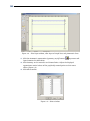
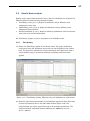
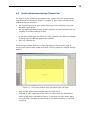
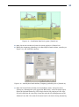
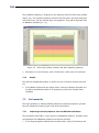
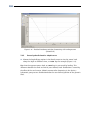
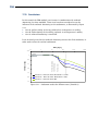
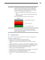
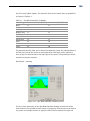
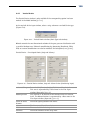
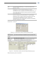
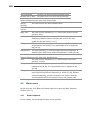
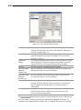
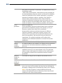
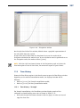
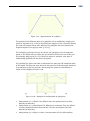
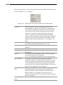
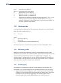
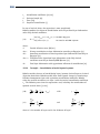
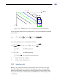
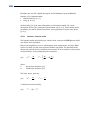
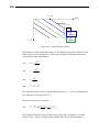
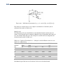
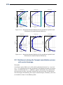
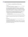
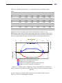
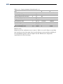
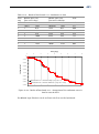
Figure 7-4 – IFCO system (sand walls)
7.2
Project
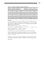
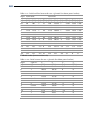
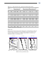
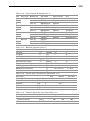
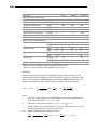
How to define the layers geometry and soil properties has been explained already in
the previous tutorials. Use the different figures and data’s given in [§ 7.1] to create
the geometry and then proceed with [§ 7.5] for the description of the additional
steps.
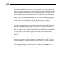
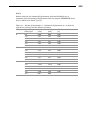
However, an alternative to the manual input is to import the geometry from a socalled GEO file [§ 7.2.1] and to import the soil properties from an MGeobase database
[§ 7.3.1].
7.2.1
Importing an existing geometry
To import the geometry from a GEO file, follow the steps below.
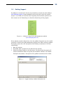
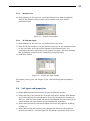
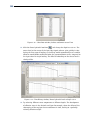
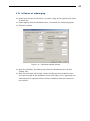
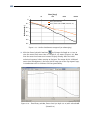
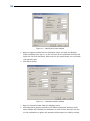
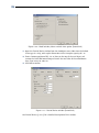
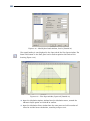
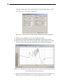
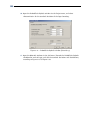
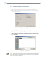
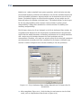
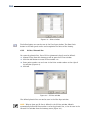
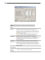
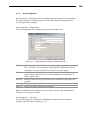
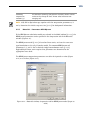
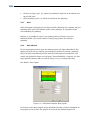
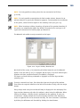
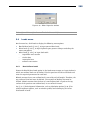
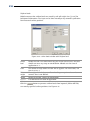
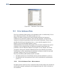
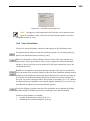
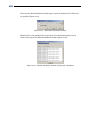
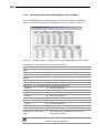
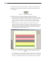
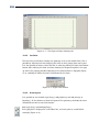
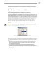
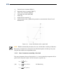
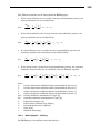
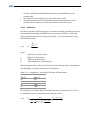
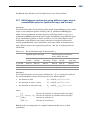
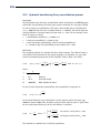
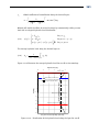
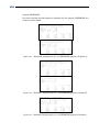
1. In the File menu, select New to open the New File window (Figure 7-5).
2. Select the Import geometry option and click OK.
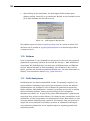
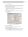
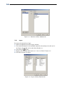
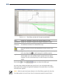
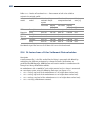
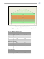
Figure 7-5 – New File window
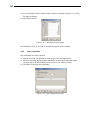
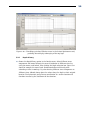
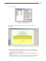
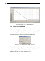
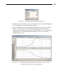
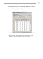
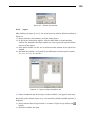
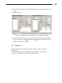
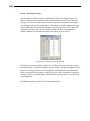
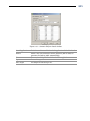
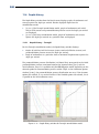
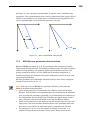
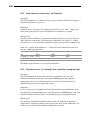
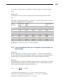
3. In the Import Geometry From window displayed, select the GEO file named
<Tutorial-5.geo> located in the Examples folder where the MSettle program was
installed.
4. Click OK.
143