1
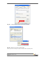
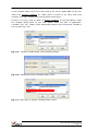
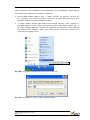
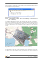
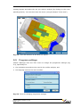
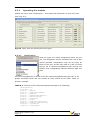
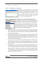
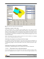
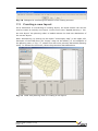
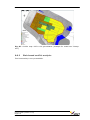
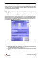
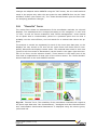
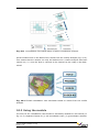
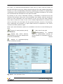
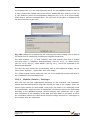
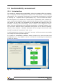
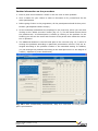
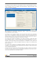
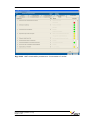
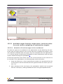
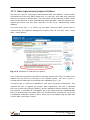
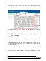
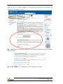
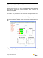
If the MMT sustainability module is used ex-post, municipal development objectives need to be available. (If they do not exist in writing, they can be ascertained by interviewing the relevant representatives of the municipal administration and local politicians, e.g. town planners, economists, local council, mayor.) The municipal development objectives serve as a substitute for the identification and prioritisation of existing (socio-economic) problems (i.e. specific local sustainability criteria are developed which then serve as a benchmark for evaluation). If a system of indicators already exists for monitoring local municipal sustainability, this can be used as well. 4.3 4.3.1 Description of input data for the MMT Standard data formats in the MMT The MMT is based on common file standards. As far as is possible, information is stored in text-based (ASCII) files. For the spatial data, the formats ESRI ASCII Grid (grid-based) and ESRI Shapefile (scale-based) are used. Both formats can be read and written by a variety of geographic information systems. The MMT requires that all input files are based on the same spatial extent and, in the case of grid data, use the same cell discretisation (size of individual cells in the grid)4. MS-Office file formats such as Excel and Word are mainly used for exporting results. Part of the input data for the sustainability evaluation is also stored in Excel. It is assumed that Microsoft Office or at least MS Word and MS Excel are installed. Additional, more information-rich site data which are not processed digitally in the evaluation are image formats such as BMP, JPEG and TIFF (georeferenced). They are used for data visualisation only. 4.3.2 Structure of directory/data storage An MMT project deals with a particular site. All site-relevant data are stored in this project, along with the land-use plans (we speak of scenarios and layouts) and their accompanying evaluations. The project data can be shifted on the computer as long as the project-internal folder structure remains the same ( relative paths are used). The directory structure of a MMT project is shown in Fig. 4.1. The folder <project>\DATA contains the project-specific configuration file “Project.ini” (detailed description in Annex 1). In addition, the demarcation of the planning area (“area of interest”) is stored as both a polygon and a grid file in this folder. Other sitespecific data (subsurface geometry and properties, distribution of contaminants) are stored in the form of grid data (see section 4.3.3). User’s Guide (Version 1.2.0) Page 4-3